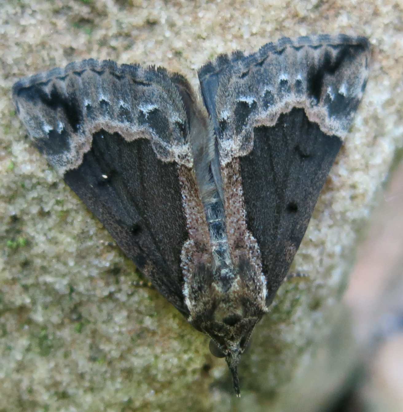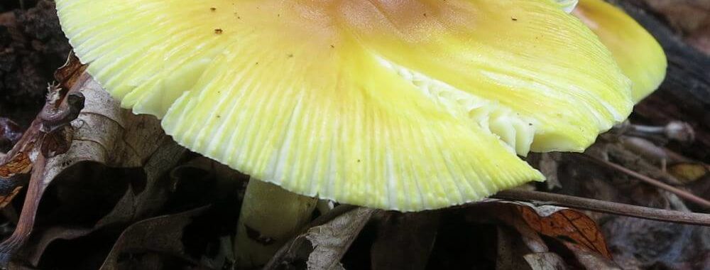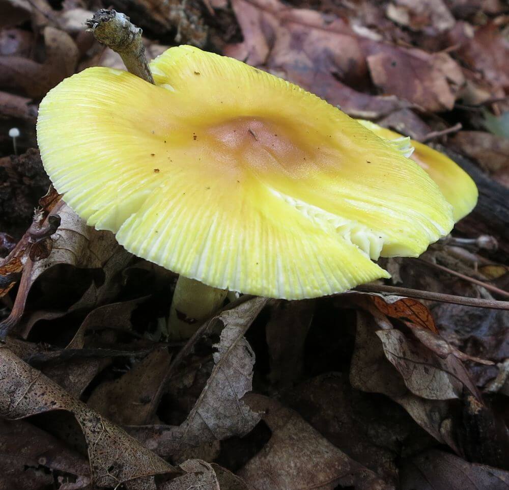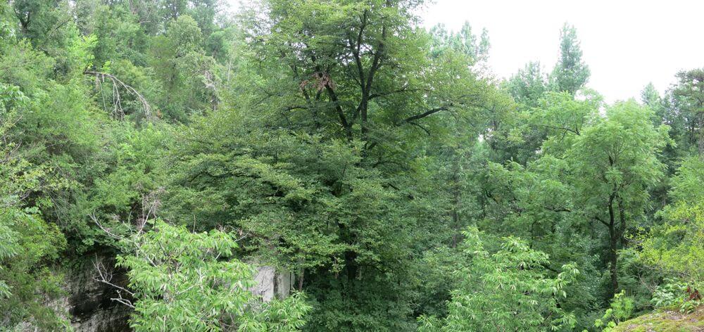
Want to go for a long hike — a really long hike? Check out the American Discovery Trail.

There are many reasons for getting out on a trail and putting in a good day-hike or for backpacking a good thru-hike that takes days, weeks, or even months. Top of the list of those reasons for many of us who are passionate about these pursuits are exercise and adventure.

When I was nearing the end of my graduate work and began looking for a job, my applications all went to agencies located near areas offering opportunities for hiking. Certainly, what tipped the scales for me in favor of Harrison, Arkansas, as the place to live and build my career was not so much the offer of a job as it was knowing that living there would put me just about an equal distance from each end of the Buffalo River National Park.

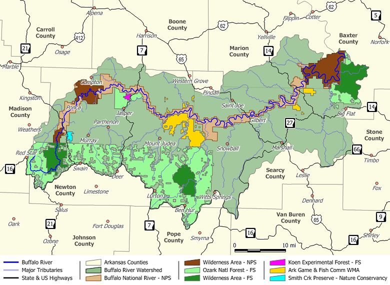
Now, some of you may be familiar with the Buffalo River, but for those of you who aren’t, it flows from its starting point as a mere intermittent trickle in the Boston Mountains past the massive and beautifully colored limestone and sandstone bluffs of the Ozarks to the White River — a distance of 153 miles. Of that, the latter 136 miles was established as a national park in 1972 preserving the river’s free flow and protecting its unique features.

There are over 100 miles of maintained trail in the park, but there are at least that many more throughout the park that are not maintained and that you won’t find, for the most part, on any map. For the past several years I have been out backpacking and exploring the Buffalo from end to end and doing so has done little more than whetted my appetite for more challenges and adventures. Its seems that no matter where I’ve been and what’s been available in my backyard, I tend to find myself dreaming of something more, of bigger challenges.

As it is with …

As it is with traditional psychotherapy, psycHikes is about coming to grips with your fears, breaking through personal barriers, and making choices that enhance your sense of self and lead you to realize the potential within you. It is about learning to let go of your judgments and expectations so you can become calmer and happier. It is about you learning to free yourself from a sense of being controlled by others. Once you develop new perspectives of self-control, you will be empowered as never before. That means your self-confidence and self-esteem will be at levels that enable you to move into what will become your most fulfilling adventure yet—the life you desire.

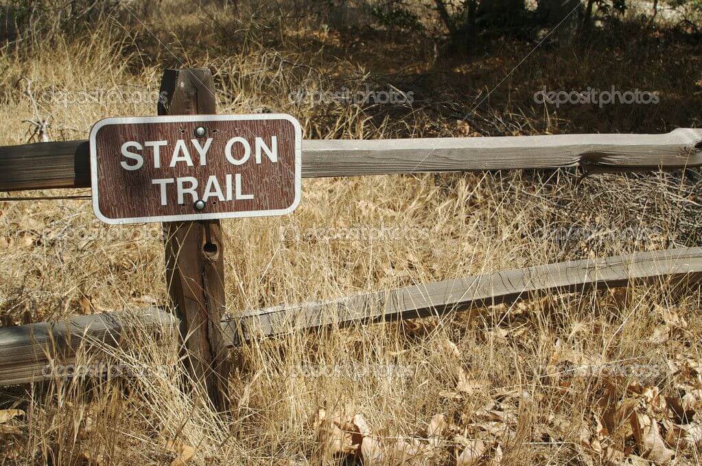
Stay on Trail Sign

The only requirement ….

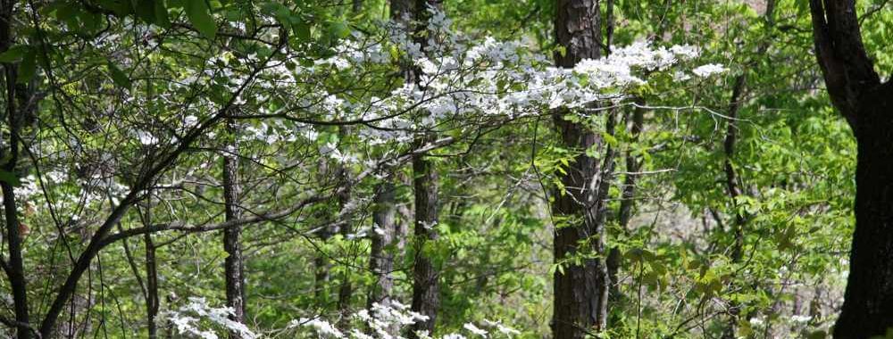
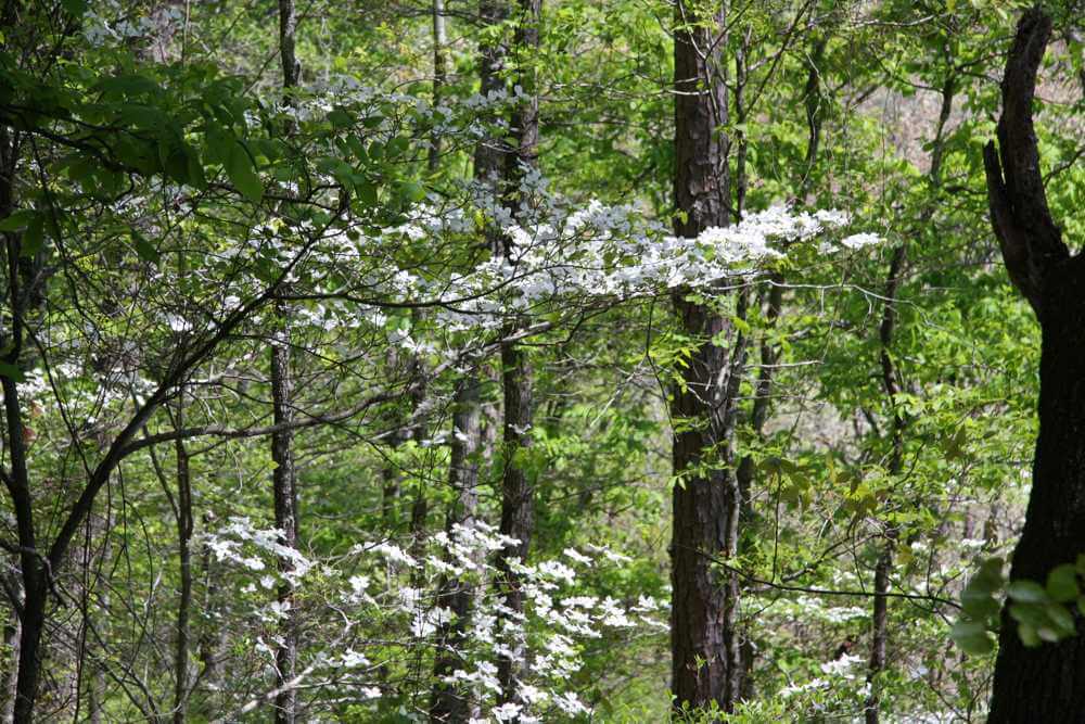
Dogwoods of spring in Hurricane Creek Wilderness
Zina Hall–April 1, 2012

The only requirement is that you want psychotherapy. The location of your services will be any place you believe would optimize your process of self-exploration and personal growth.

As the name …..

As the name implies, psycHikes is, in part, about moving psychotherapy off the couch and onto a trail, your campsite or campground, a mountain bike trail or back road conducive to cycling. But, don’t let the name fool you, because the overarching goal of psycHikes is to bring services to you wherever you are or desire — at any location that best suits you. That means your services could be available to you right in your home, on your porch or deck, in your backyard, in a nearby park, or anywhere you would feel most comfortable and secure. Dr. Brown can even see you in an office. You don’t have to be a physically active individual to be able to apply for and benefit from the array of services offered through psycHikes.

More pics from the trail . . .

Hey, it’s been awhile! I’ve been going through the pics from hikes done in 2013 and 2014 and thought I would share with you glimpses of some of the creatures and such my partners and I have spotted out on the trail.

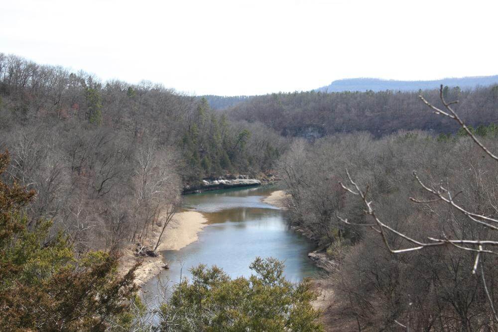
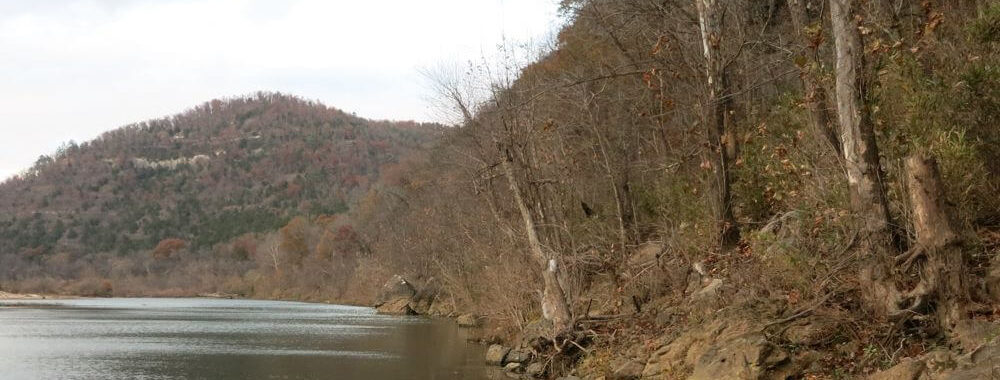
Buffalo River viewed from Flatiron Bluff
Zina Hall–February 16, 2014

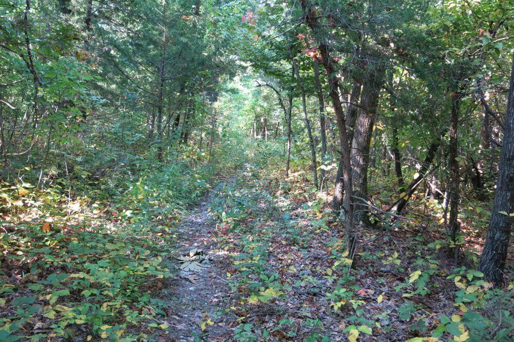
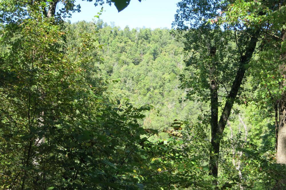
To start, let’s head back up the trail to yesterday when Zina and I were out for a trek down to Flatiron Bluff which is, as the crow flies, about three to four miles southeast of Pruitt in Buffalo River National Park. Our goal was to find the bluff where I knew we would have a bird’s eye view of the confluence of the Little Buffalo and Buffalo rivers. The last month or so has locked the area solid with unusually cold air, but Sunday was an exception. The temps were in the 60’s, and that brought out wildlife that has been holed up for who knows how long.

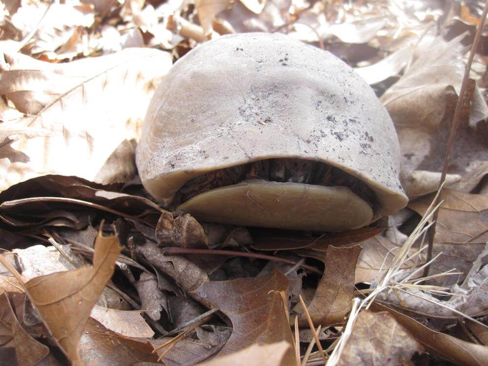
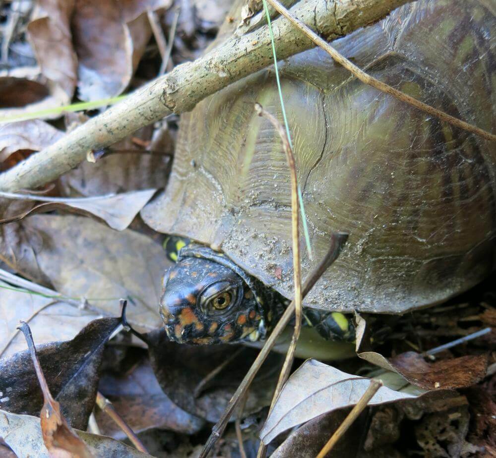
Can you see me now?
Zina Hall–February 16, 2014

To start, as we were cruising down the trail on our way to Flatiron, we stopped briefly to view the scenery. Had we not, we would have blown right on by a turtle trying to make its way along through the mat of leaves on the forest floor. As you can see, he/she was a just a bit shy, so the best Zina could get was a view of this turtle playing it safe by staying in its shell.

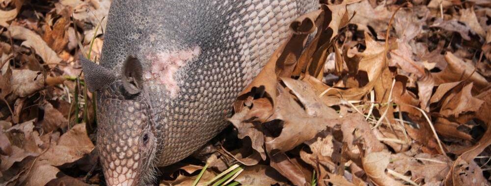
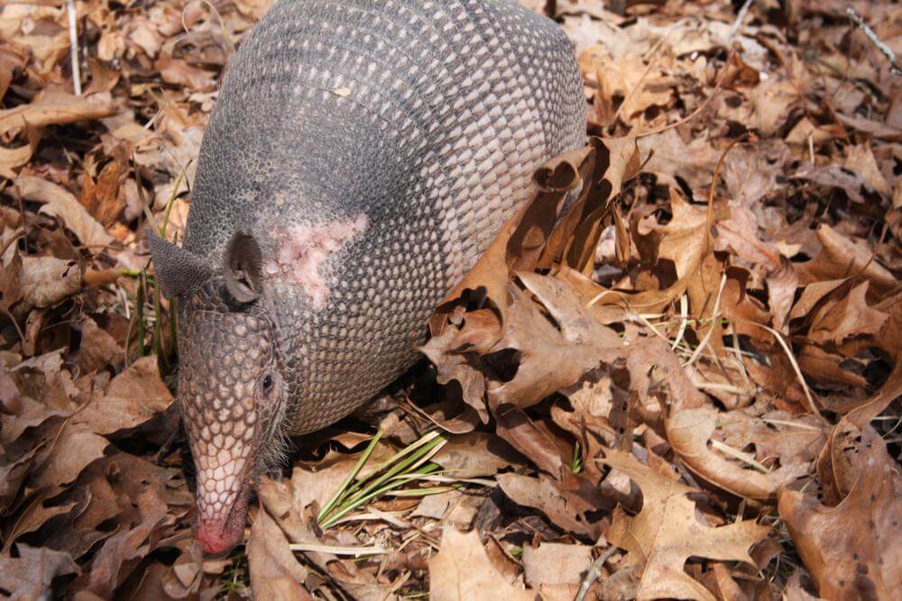
Seeing we were not going to have much success at getting a better picture of the shy and cautious reptile, we headed out for our destination. Not far down the trail we heard some rustling in the leaves, so again, we paused. For those of you who have run across armadillos out in the woods, there’s no animal its size that makes more noise as it rustles through the underbrush in search of a tasty snack. This ‘dillo did not disappoint in the noise department, so off Zina went to snap some shots. When you come up on armadillos in the wild, it is not uncommon to be able to get right up on them. They often seem oblivious to the world around them, and this little placental mammal was just that—for awhile—which made it possible for Zina to take several pics from a good number of angles. Suddenly, though, for whatever purpose it had in mind, it ran right at her, and its charge afforded her this great mug shot. As armadillos go, this one is extremely handsome or cute or whatever they are. Certainly, she/he was anything but shy.

Love at first sight.
Zina Hall–February 16, 2014

Having all the armadillo action we could have asked for one day, we headed out to the bluff where we hung out for an hour or so and basked in the sun and view. However, the wind began picking up, and with that the air began to chill. We had seen what we wanted to see and more, so we agreed it was time to pack up and turn it around.

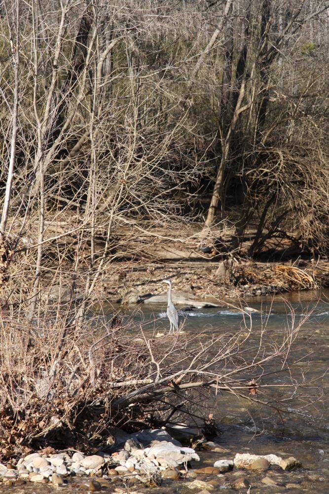
Where’s dinner?
Zina Hall–February 16, 2014

With the hike behind us, we loaded into the car and headed out to explore the area by driving down the back roads. In short order, we came to a low water crossing of the Little Buffalo and decided it was a great place to stop for some more photos. As luck would have it, just a few yards downstream stood a blue heron on the bank patiently eyeing the water for its next meal. It seemed not at all concerned with our presence, so Zina snapped away and wished the whole time she had a better telephoto lens. Oh well, the pics were clear enough to capture the majesty of this bird.

Now, moving on up the trail to near the end of December 2013, Zina and I were out again to take in a bluff view of Hemmed-In Hollow. I was secretly hoping to get a glimpse of an eagle or two while on the trail, and the day did not disappoint.

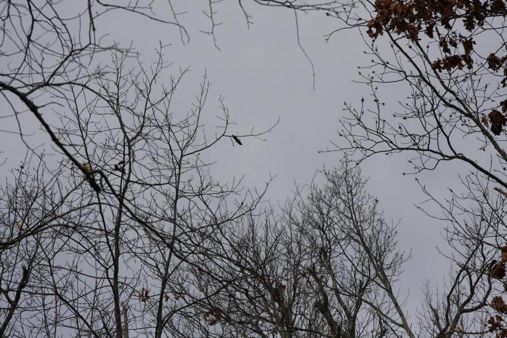
Flying high
Zina Hall–December 28, 2013

As can be seen by the photo here, we weren’t exactly up close and personal with this beautiful raptor, but there was no doubt about the white head and tail that distinguish this bird of prey from others in the accipitridae family. It was our lucky day, because we saw two eagles soaring overhead for a brief period of time, but they never came in close enough for a good shot. Oh well, maybe next time we’ll have something more to show you.

Well, I got ahead of myself, so now it’s time to do a brief about-face and head back down the trail to January 21st. That’s the day when Nicholas, my grandson, and I went on a hike to Hideout Hollow—his first time on the trail. It’s a hike that’s perfectly fit for a nine-year-old neo-hiker. About a mile along the trail we hit the bluff area where huge icicles hung and were periodically breaking free and crashing to the forest floor below.

Let it bee . . .
Nicholas Taylor–January 26, 2014

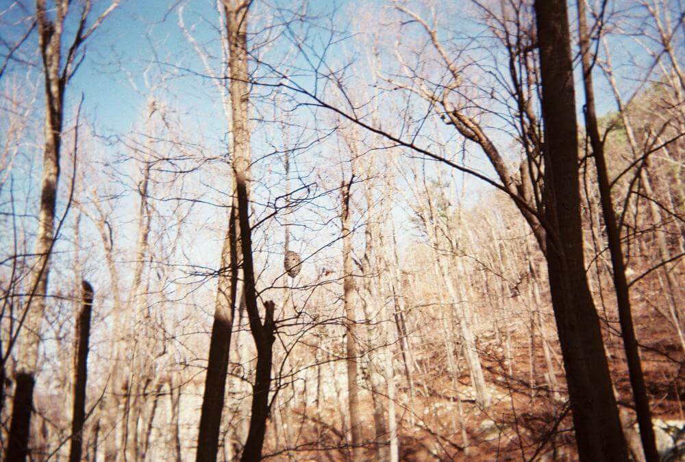
After taking in the views and being sure to steer clear of the falling masses, we decided to take in a small cave that’s plenty big enough to let you know just how dark it is in caves. In fact, we were not far into the cave when Nick voiced curiosity about how dark it might be. So, off went the headlamps, and there we stood in total darkness. In short order it came to be clear that visions of bears and things that go bump in the dark had flooded Nick’s mind, so back on went the lights, and all was well. In any case, shortly after we exited the cave and started heading back to the waterfall, Nick spotted something nearby in a tree. As you can see, what he saw was a hornet’s nest, so here is a picture he took on his disposable camera of the deserted abode. Now I’m no expert at photography, but I think he may develop a knack for catching good shots—no bias on this end.

Home sweet home . . .
Tom Walden–November 3, 2013

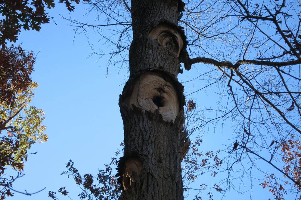
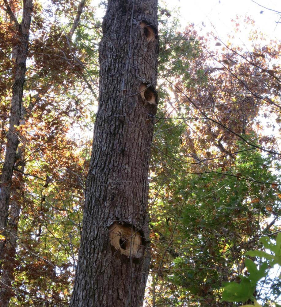
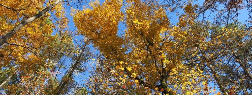
Okay, heading back up the trail to early November, Tom and I were out in the North Prong area of Leatherwood on a trail that circumvented the south side of Harrington Knob. Many of the autumn leaves were still on the trees in their golden glory, and we were relishing the sights. As it was, we were not the only ones who seemed to find the area appealing, for we spotted three trees that had been converted into bird condos. I’m not sure the kind of bird(s) that did the exterior work on the apartments, but we speculated it was likely done by some kind of owl. If any of you know from looking at these photos, please let me know by dropping me a line here on the blog.

The high rise . . .
Tom Walden–November 3, 2013

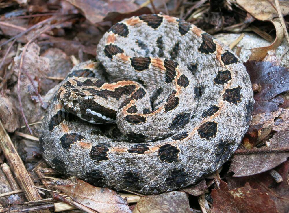
Better wrap this up with one more pic. This one was taken while Tom and I were hiking up to Farris Ridge from down in the hollow draining to the southwest between Farris and Griffin ridges. As it was, we were moving uphill, and I was about 30 feet or so ahead of Tom. All of a sudden he let it be known he had spotted a snake. At first I thought he was pushing my leg, but he insisted he was not, so I turned around and walked back about 15 feet. Sure enough, right in the trail was this beautiful viper. It was coiled up and appeared to be content with taking in the last rays of the day’s sun, and judging from it’s location, I could not have missed stepping right in its business by more than a few inches. Contrary to how it looks in the pic posted here, it was a small snake, so we figured it must have been young. Of course, when I got home I Googled ‘snakes of Arkansas’ and found that the little beauty was actually a pygmy rattler. A first for me and Tom both, and for our good fortune, it turned out to be nothing more than a photo op and left us with a good story to tell.

Snakes alive!
Tom Walden–late-September, early-October 2013

Enough of this for now. Better get on to planning more adventures, so I’ll sign off and wish you all some happy trails till we meet here again.

May your path be filled with splendid, rewarding surprises till then!

First Overnighter of this Backpacking Season!

Let’s see. In my last post, I believe I mentioned something about having gone on my first overnighter of this backpacking season. Actually, I didn’t go it alone—Tom and I hooked upand hit it together. So, on Saturday morning, November 16, 2013, we set out down Farris Ridge trail in search of a spot on North Prong where we could pitch tents.

As is tradition, Tom brought his camera and smartphone—he gets great pics with each—so I thought I would share some of those with you.

Selfee of you know who
Tom Walden–November 17, 2013

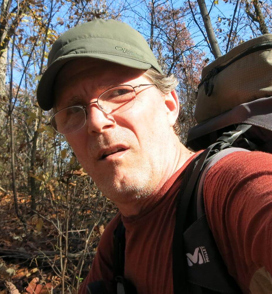
First off, I simply cannot resist showing you this selfee taken by who other than Tom showing, of course, Tom. You might find yourself thinking he is not looking exactly at the top of his game, and you would be correct. He took this shot during the jaunt out of Leatherwood on Sunday morning. Admittedly, he had not consumed a sufficient amount of carbs to compensate for the number burned the preceding day, and he was paying for it. I believe he said he took this as a reminder to all who go out in the wild of what can happen to you when you overlook the importance of keeping your caloric intake up. The message sunk home hard with me. YIKES!!! As soon as I saw this photo, I started munchin’. I never want to get to looking that bad!

The food bag shroom
Tom Walden–November 16, 2013

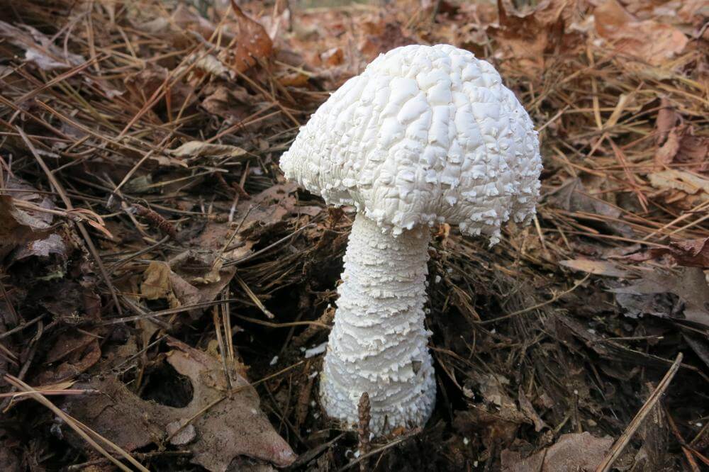
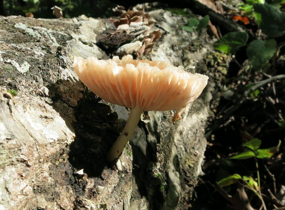
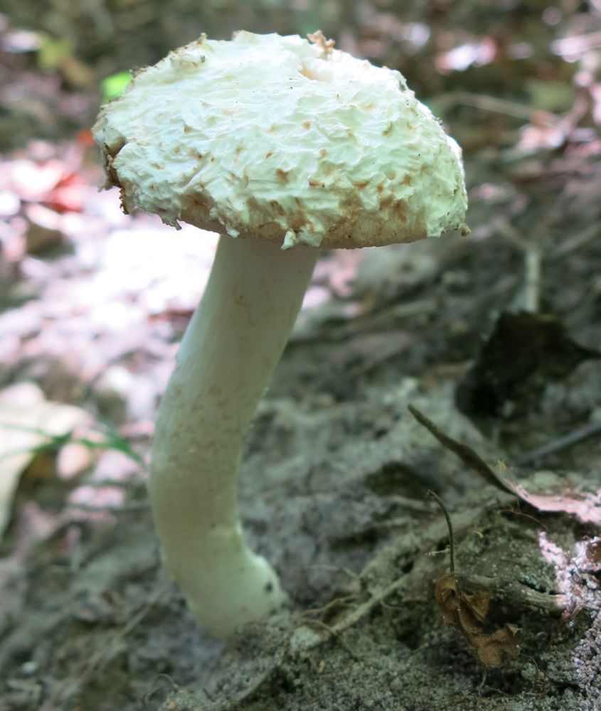
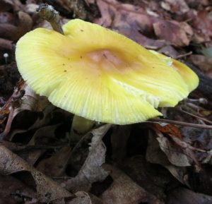
Next is yet another shroom we discovered right near where we hung the food bags. Actually, there were three shoots of this particular fungus popping up through the forest floor. What amazes me about this mushroom is that when I returned to the same area two weeks later for my four-day Thanksgiving holiday adventure, two of the three mushrooms were still there. Okay, the ones I saw on the latter occasion might have been others that came up during the two-week span between excursions, but if they were, they grew very near the location of those seen by Tom and me.

Awe the Buffalo
Tom Walden–November 16, 2013

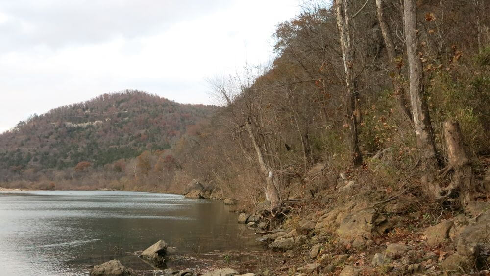
Ah (awe), the Buffalo River! We made camp Saturday afternoon just across the creek to the north of Harrington Knob, and after completing that task, I was good to go for just relaxing and reading and taking in the sounds of the biota surrounding us. Tom, on the other hand, had sights he wanted to see, so he suggested we head on west to the confluence of North Prong and South Prong of Middle Creek. Of course, I could not say no to that, so off we headed. It took us probably less than 30 minutes to cover the approximately one and one-half miles to our destination, and once we were there, Tom submitted yet another request. He had been itching to see the Buffalo, and since there were less than a couple more miles separating us from that goal, off we headed.

What! A model out by the Buffalo?!
Tom Walden–November 16, 2013

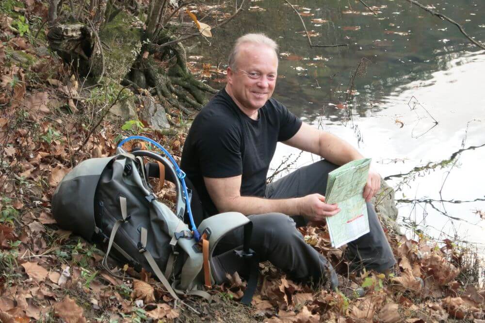
As can be seen by the accompanying pics, there was still some daylight left, and the views were, as usual, great. We found a sandy spot on the bank of the river to sit ourselves, do a little snack, and relax, and that is just what we did. The day had started out cloudy and misty, but the clouds broke as the day moved along.

A sight to behold
Tom Walden–November 16, 2013

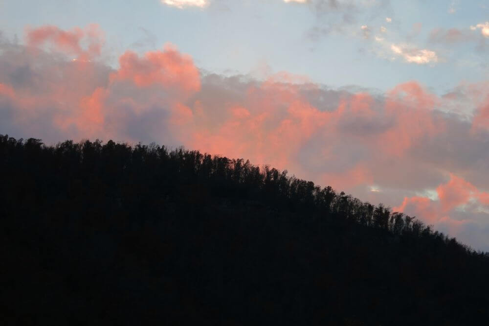
By evening the wind had really picked up, and wisps of clouds were rolling past at a remarkable speed. These shots do not capture what the experience was like from a sensory standpoint, but I assure you, it was something to behold. Obviously—noting I’m sitting along the Buffalo with just a t-shirt on—the temp was very pleasant. With twilight, we were joined by a couple or three bats flitting about overhead. We both felt fortunate to be a part of such an experience, and as dusk approached, the clouds captured what was left of the sun’s rays to produce a fantastic display of color. Yep, I wanna return and take it all in again.

First light
Tom Walden–November 17, 2013

I will leave you with some shots from and near camp. One of the most spectacular times of day in my books is when the sun rises in the morning. Everything just seems to radiate with a particular beauty in the early morning light, and Sunday morning’s rising was no exception. There’s something very special about getting to witness the first light hitting the peaks of the surrounding mountains.

Let ‘er shine
Tom Walden–November 17, 2013

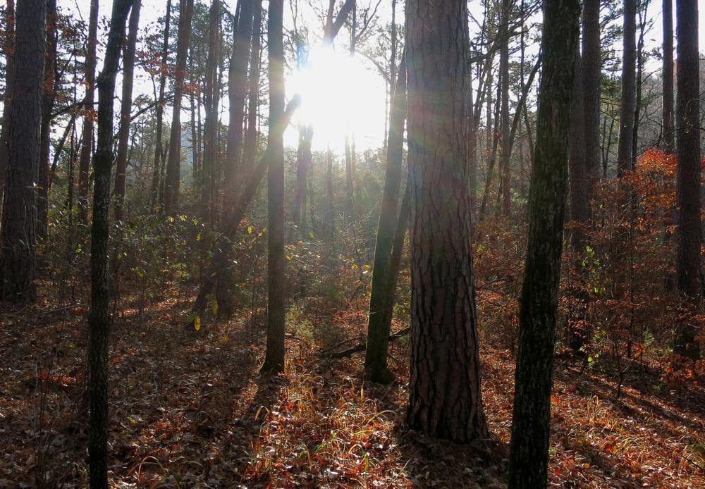
Slowly but surely, the light creeps down the mountain sides and touches the tops of the trees surrounding you. And then, there it is in all its glory the star of our solar system peaking over the distant horizon and piercing the cool (or cold) morning air with its rays. Add to that the gurgling sounds of creek water, and you truly have a sense of being in paradise.

Fall’s last hoorah
Tom Walden–November 16, 2013

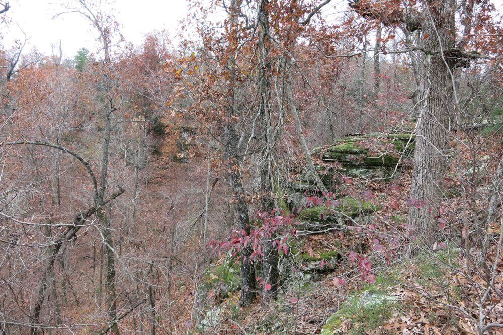
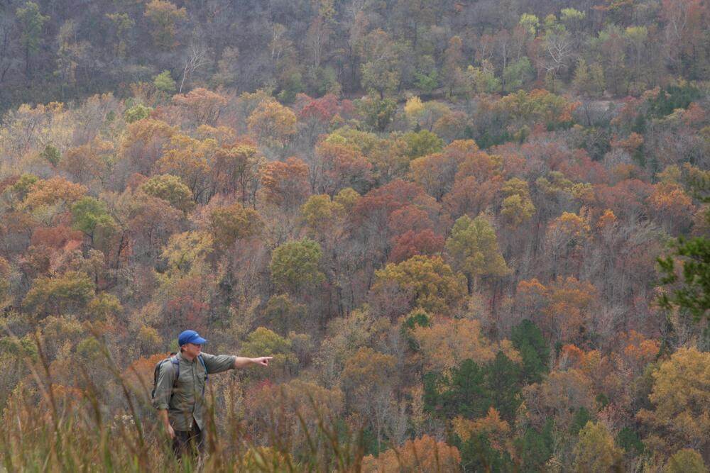
Well, I said I was going to leave you with some near-camp shots, but there’s one more view to share. What you have here is a glimpse of some of the colors remaining from the fall foliage. This picture was taken looking off the edge of Farris Ridge. It appears in the distance there may be a faint hint of a bluff. Perhaps in the hikes to come we will come up with some clearer shots of the many bluffs we will encounter.

Till then, hike on!! Perhaps we’ll meet out on the trail!

And The Hikes Go On . . .

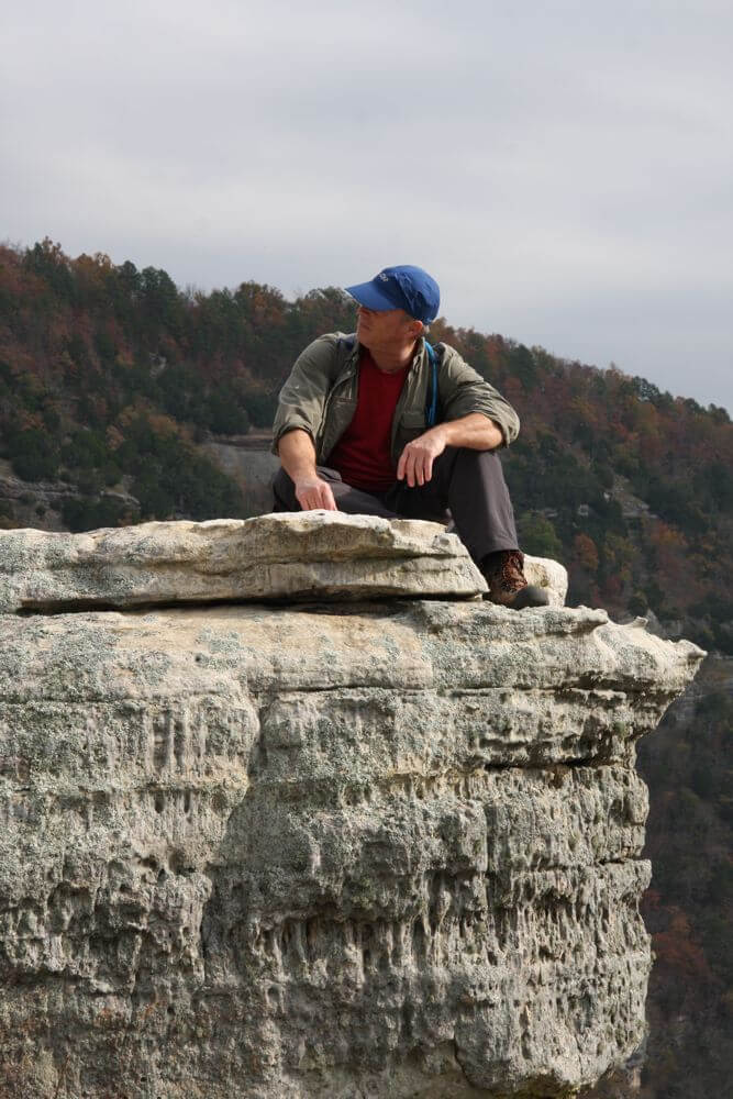
Some Hiker Dude Along Toney Bend on the Buffalo River
Zina Hall–October 6, 2011

Having posted not one thing since mid-September, one could easily develop the impression that hiking has not been happening in this neck of the woods. Oh, but it has! In October, Tom and I managed no less than three dayhikes down into where else but Leatherwood.

Bald-faced Hornet’s Nest
Tom Walden–November 13, 2013

In November, the pace did not slacken and even included an overnighter for the two of us. Then came turkey day when most everyone feasts themselves into oblivion. In a departure from the ordinary, Thanksgiving Day marked the start of a four-day solo journey for me into, once again, Leatherwood Wilderness.

So, one might ask, what on earth is it that motivates Tom and I to journey repeatedly into that particular wilderness area? The answer is simple: Our goal has been to explore Leatherwood up and down, side to side. And to this point, we have barely made a dent on the North and South Prongs of Middle Creek. Even more, we have yet to leave a boot print in the Short Creek and Leatherwood Creek sections, but you can rest assured, the day is a coming.

Tom, Lost on the Farris Ridge Trail
Tom Walden–November 13, 2013

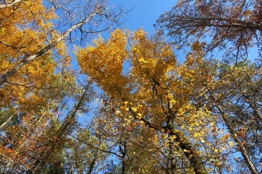
One of the things that never fails to awe me about the Arkansas woods is how the leaf on and leaf off seasons affect the senses so very differently. This year, finally, I had the good fortune of experiencing each season and the transition between the two more so than I have in a several years. Without a doubt, it was exhilarating to witness the green of summer’s flora as it transformed into the stunning colors of fall. For me, however, Leatherwood reveals it’s most stunning scenery when the hardwoods bare it all. Once all the leaves have hit the turf, the curtain opens on magnificent vistas and the boldness of the bluffs that line every creek and hollow.

Farris Ridge Trail
Tom Walden–October 13, 2013

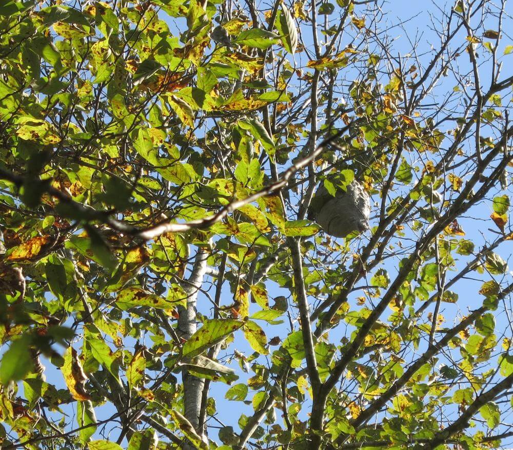
With the departing of the green, one learns just how secretive mother nature can be. For instance, Tom and I hiked into Leatherwood via the Farris Ridge trail numerous times during the past few months. Nonetheless, we had no idea until after the leaves dropped that we had walked time and again within just a few feet of the large, gray, paper nest of what, based on my research, I believe were Bald-faced Hornets—dolichovespula maculata. What I do know is that I’m probably fortunate to have been stung only once on all the hikes we’ve taken in the past three months.

Turtle Time Along North Prong in Leatherwood
Tom Walden October 13, 2013

Certainly, Tom and I ran across a group of horse riders about a month and a half ago, and they told us that on a ride they took a day or so earlier, some of the riders and their horses were stung. I had the good fortune of getting to talk for about an hour with the leader of that group of riders on the second morning of my Thanksgiving holiday four-day solo journey, and she confirmed the occurrence of the stings and noted that her horse didn’t enjoy the experience one bit.

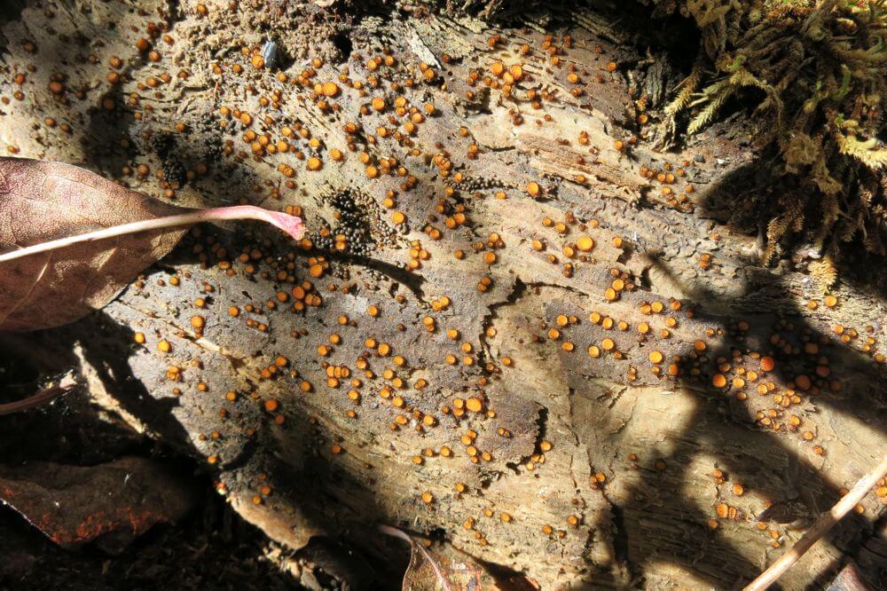
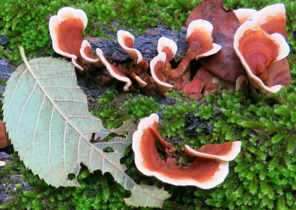
Well, enough about the wasps and on to all the other things we’ve encountered on our hikes. Of course, the fungi continue to amaze. They come in all colors, shapes, and sizes, and I am still unable to wrap my mind around how something so seemingly delicate can grow itself right out of the trunk of a dead, fallen tree or up through the dense pack of leaves, twigs, and pine needles on the forest floor.

The Dead Yielding Life on Griffin Ridge in Leatherwood
Tom Walden–October 6, 2013

Of course, fungi are not all there is to the biota of the wilderness. There are insects of all sorts along with their eggs or nests. In addition, it is not all that uncommon to encounter a snake, and of course, birds, deer, bears, fox, bobcats, coons, skunks, armadillos, wild hogs, and spiders—many spiders of all sorts—to name just a few members of the fauna. Strangely enough, there have been very few webs built up high enough for one to get a good taste of them while hiking this year. Certainly, I’ve never seen anything like it during previous seasons. Typically, hiking through the Arkansas woods in the summer and early fall yields a steady stream of web events, and no, webs do not taste like chicken. As for the constructors of those webs, I am glad to say I have not had the inopportune experience of savoring their flavor.

View of Farris Ridge from Griffin Ridge in Leatherwood
Tom Walden–October 6, 2013

Getting back to last weekend’s four-day event, I had the wonderful fortune of hearing the choruses of geese as they flew overhead at all times of the day and night. Those were not the only vocalizations, though. Each night, usually more than once a night, the coyote choir struck up in crystal clear fashion. The first night out, it started with what sounded like a dog barking not far from camp. But after a few sharp yips, the canine calls turned into the distinct howl of a coyote. In seconds, the whole valley lit up with howls from every direction. If you have never had the good fortune to partake of such an experience all alone at night deep in the forest, I highly recommend getting out there and introducing yourself to it—it is spectacularly eerie to perceive.

In Awe of the Fall Along Near Harrington Knob in Leatherwood
Tom Walden–November 3, 2013

While I’m speaking of the sounds of the forest, I was sitting in camp drinking my tea and reading during my final morning out last weekend. Suddenly, from off in the distance I started hearing the clucks, putts, gobbles, cackles, yelps, and purrs of wild turkeys. Repeatedly, I scanned the area around me, but the fowls producing the sounds never showed themselves. As time rolled by, though, it was clear they were moving ever closer. Suddenly, in the woods across the creek from where I sat—and still out of sight—erupted the loudest simultaneous display of turkey talk I have ever had the good fortune of experiencing. It was truly a cacophony to behold. Unfortunately, in what was probably a little less than a minute, it ceased abruptly. The quiet of the woods prevailed.

Bird Condos for Let Near Harrington Knob in Leatherwood
Tom Walden–November 3, 2013

Oh, yes, before I forget, did I mention I was stalked? Don’t know what it was, but I’m pretty sure some critter not very large in size was piqued with curiosity about the new addition to the area. It was my first night out, the clock showed about 5:30 in the evening, yet it was dark as could be. I had just nestled into the warmth of my sleeping bag when the silence of the night was broken by the faint crackle of leaves a few yards from my tent. At first I thought I was hearing things, but after laying as quietly as possible for a few seconds, there was yet another similar sound followed in seconds by another and then another. Slowly but surely, something was closing in on my humble abode. For a few moments, I thought it would be really cool to wait till whatever it was got right up to my tent to turn on my headlamp in hopes of getting a close-up view of the visitor. My mind searched for explanations of which animal could be making the sounds. Could it be a fox, a coon, a bobcat, or, oh no, a skunk?! With that image, the excitement vanished, on flicked the switch of my headlamp, and out of my tent I flew. Whatever made the sounds, I will never know, because I could see nothing and could only hear the culprit fleeing in leaps. With the adrenaline rush dissipated, back into the bag I crawled. Within a few moments, sleep left me oblivious to everything but the action of my dreams.

Golden City of Fungi near Harrington Knob in Leatherwood
Tom Walden–November 3, 2013

So, there it is. Kind of a potpourri of experiences from the treks. Hope you’ve enjoyed the pics and all, and I’ll be posting again when there’s more to reveal. Happy hiking till then!

The Trail to Where . . .

Ah, another great day for an exciting adventure—as though any day could be otherwise. The inspiration for this day’s journey developed from having discovered, during the Crosscut Falls hike, yet another trail branching off the main trail that runs the length of South Prong Middle Creek in Leatherwood Wilderness. Yes, it was back to my favorite wilderness area, and joining me once again was my intrepid hiking partner, Tom.

Let the Sun Shine In–Leatherwood Wilderness
Tom Walden–2013

Here it was, a Saturday, smack in mid-September with hardly a cloud in the sky. No rain was in the forecast—there had been no rain since the Crosscut hike—and the temperature was headed for the low 80s. Tom and I hooked up at the location we chose as our standard rendezvous spot for exploration of the southeastern part of Leatherwood, and off we went.

The trailhead we decided on for today’s hike was the third of three—in terms of distance from the main road—we had discovered during the waterfall finding excursions. Again, as is the case with all the wilderness trailheads, this one is not marked, per se, but we remembered some key landmarks to help us find it. Sure enough, our recollection of those markers and close observation for the lay of the land took us right to our proposed launching point without a hitch.

The Fungus Among Us Tom Walden--September 2013

The Fungus Among Us
Leatherwood Wilderness
Tom Walden–September 2013

For those who have access to a Trails Illustrated map of the eastern part of the Buffalo National River, I’ll break here to give you a visual reference as to where this particular journey was to take us. To start, you turn off Push Mountain Road (Arkansas state highway 341) onto Rand Road (Forest Service road 1118) and head west. On the map the road is labeled ‘Rand Road, and our starting point was at the bend in the road just right of the “d” in Rand. From there, our course was primarily south past Little Glory Hole to South Prong of Middle Creek.

Once we hit South Prong, we stayed on the trail as it meandered primarily to the northwest for approximately a third of a mile looking as we went for the branch off the main trail it was our goal to explore. Along the way was Little Glory Hole Falls where we agreed to stop for a bit in hopes of finding an easy route to its base—Tom was hoping for some pictures of the site from the bottom up. While surveying the area, we heard a high-pitched buzzing sound I began to suspect emanated from a bee hive somewhere in the vicinity. We couldn’t see any sure sign of bees or hornets flying around, but the noise was sufficient enough for us to decide not to linger, and with that, we moved on.

Soft and Prickly Tom Walden--September 2013

Soft and Prickly–Leatherwood Wilderness
Tom Walden–September 2013

In any case, having hiked about a hundred yards or so up the branch trail the last time out, we knew it ran at least a short distance up the unnamed drainage flowing from the northeast into South Prong. Our goal was to learn just how far up that drainage it went and if it would take us to the designated parking area atop Griffin Ridge.

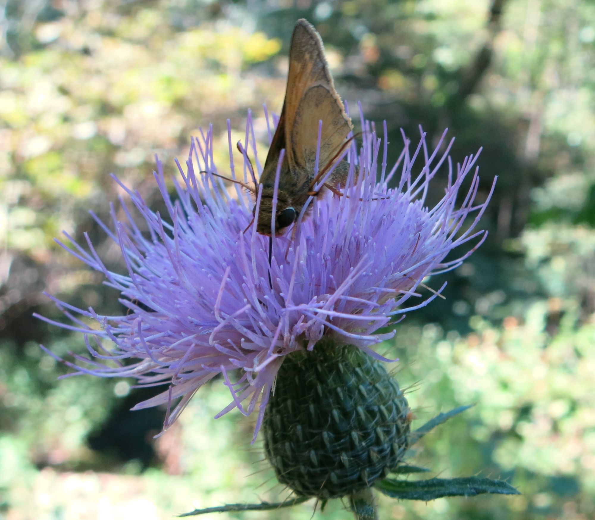
Apart from the possible hive of bees and a few fungi along the trail, the trek had been relatively uneventful up to the intersection right in the creek bed of the main and branch trails. However, about as soon as we veered onto the trail we were determined to explore, we were greeted by a bevy of beautiful butterflies dining on some recently deposited scat. For those who have not studied up on butterflies, one of their favorite delicacies is dung, and it appeared the buffet was on.

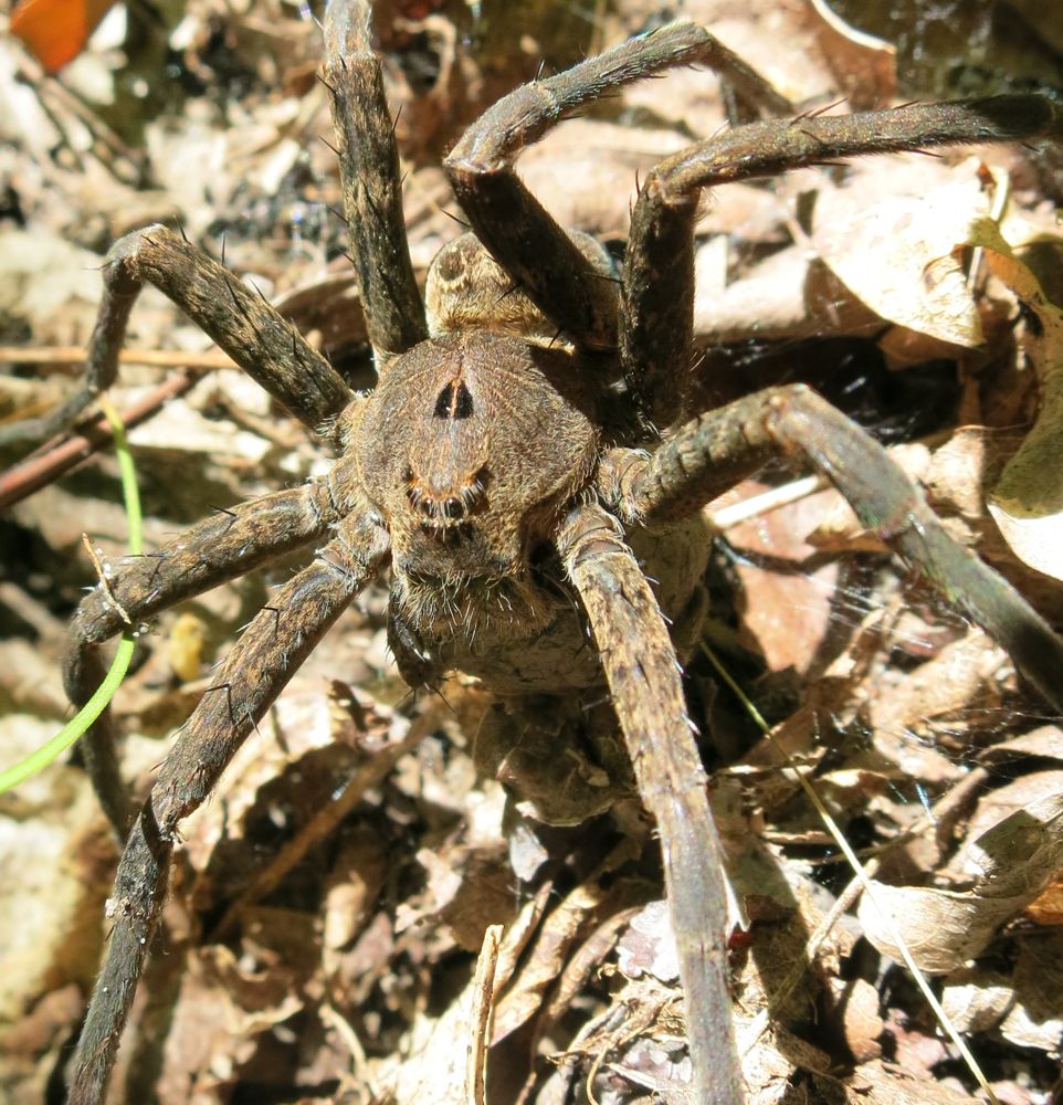
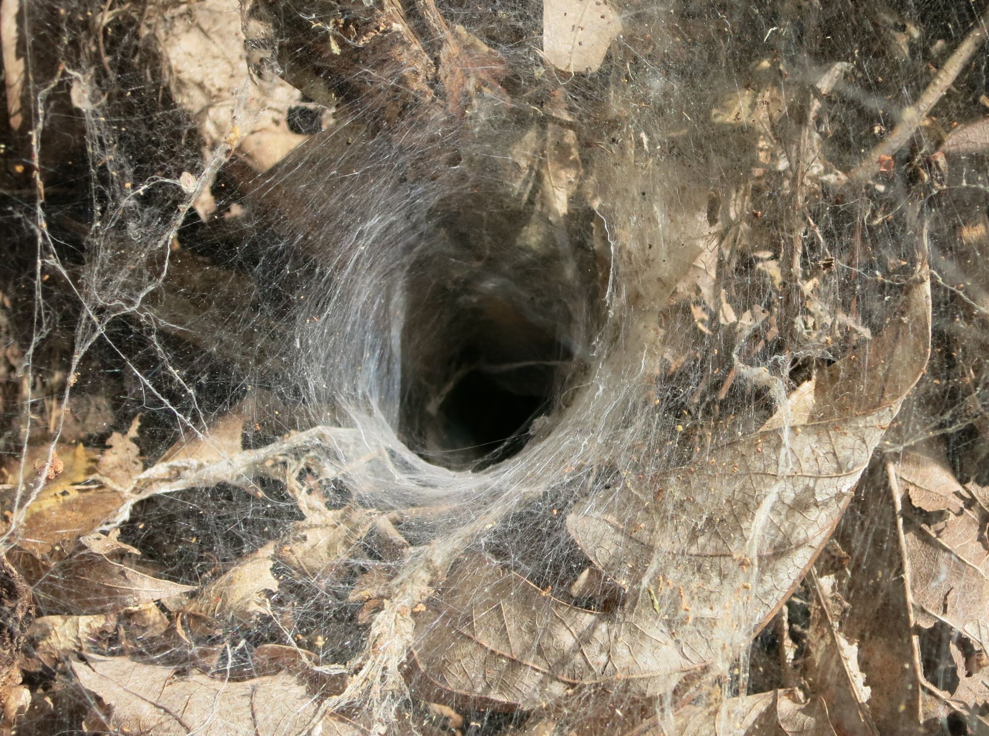
Welcome to the Spider's Lair Leatherwood Wilderness Tom Walden--September 2013

Welcome to the Spider’s Lair
Leatherwood Wilderness
Tom Walden–September 2013

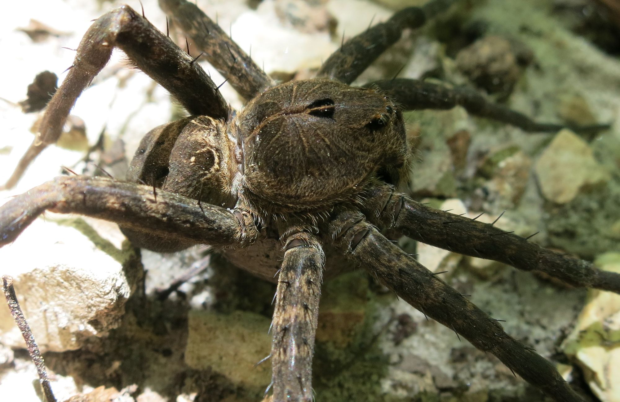
After spending a few moments taking note of the beauty of the butterflies, we were off to see where the trail would take us. It was a nice single track that followed what appeared to be an old road bed, and the slope was mild. Gradually upward in elevation we maneuvered with me in the lead, and we made sure to stop for every photo op we encountered. Fortunately, my gaze was down much of the time, and I say this because it kept me from very possibly smashing to smithereens what was a really cool find—a tarantula taking a break smack dab in the middle of the trail. This, for sure, was a photo-worthy little creature, and as you can see from the accompanying pics, Tom took advantage of the moment. We felt it was our lucky day as the critter accommodated our curiosity by posing patiently while the camera snapped on from one angle after another.

Wanna Dance? Leatherwood Wilderness Tom Walden--September 2013

Wanna Dance?
Leatherwood Wilderness
Tom Walden–September 2013

After spending a good deal of time oohing and awing and photographing our surprise find, the journey was back on. The gnats were everywhere at all times, and whenever there was a break in the action, you could hear the incessant cacophony of their countless numbers punctuated by the louder buzz of horseflies. Oh, were there ever horseflies, and I was apparently on their menu. Tom, on the other hand, seemed to be some sort of horsefly repellent. I cannot count the number of times I was viciously assaulted by those blood-thirsty dive bombers while Tom encountered little more than a flyby. I must admit, though, I’m pretty sure I saw at least a couple butterflies land on him—I had to wonder what was up with that.

The Itty Bitty Spider Leatherwood Wilderness Tom Walden--September 2013

The Itsy Bitsy Spider
Leatherwood Wilderness
Tom Walden–September 2013

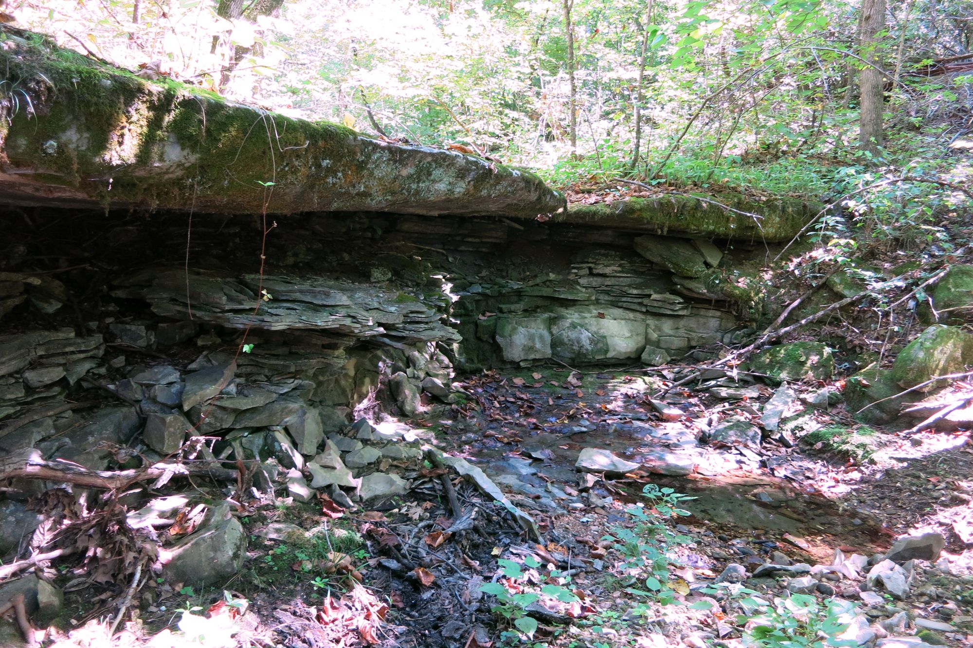
In any case, after about a mile on the branch trail, we encountered what would have been about a six-foot waterfall, and at that point, the trail took a decided turn to the north. Certainly, it was an opportunity for some more pics, so while Tom snapped away, I walked on up the dry creek bed in search of any sign of a trail leading to Push Mountain Road. According to the map, we were only about a half mile from the highway, but that was apparently inconsequential in terms of where the trail led. It took little time to determine that where we were was not where two trails intersected. Indeed, the trail shot north. Upon returning to our stopping point, I found Tom still engrossed in capturing in digital format the beauty of the area. So, I decided to make use of the time by heading up the trail in the direction of Farris Ridge. What I found after traversing a couple hundred yards up the clearly defined trail was a significantly greater incline in the slope compared to what we had grown accustomed to, and there was no indication of the trail heading back east toward the road. Given that, I turned around and headed back toward Tom who, as I found, was already coming up the trail toward me.

Dry Falls--Leatherwood Wilderness Tom Walden--September 2013

Dry Falls–Leatherwood Wilderness
Tom Walden–September 2013

As I noted earlier, our mission was to hike the branch to its final destination, so once Tom and I reunited, a brief conference ensued to determine our course. In deciding whether to continue on or turn around, a number of factors were weighed. First on the list was the time of day. We started late, so by that point we were about at mid-afternoon. Of course, we both carry headlamps and extra gear, so getting caught by darkness was no big deal. As it turned out, though, the deciding factor was a thing called conditioning. Put simply, the nature of our jobs leaves us both with little opportunity during the week to exercise, and though we felt fine at that juncture, we figured it best to not slip into a state of denial about the condition we knew we were not in. Once that topic surfaced, the decision to turn around soon followed.

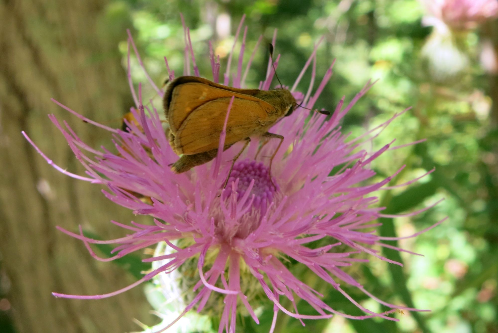
Thistle Get You--Leatherwood Wilderness Tom Walden--September 2013

Thistle Get You–Leatherwood Wilderness
Tom Walden–September 2013

Admittedly, we fell short of our goal, and that realization was not the most pleasant thing to swallow. However, our disappointment dissipated gradually but surely as we moved back downhill toward South Prong and resolved to turn this missed opportunity into a two- or three-day backpacking experience. Yes, we agreed to return—we found a few spots along the way that would serve well as camps—to complete our quest. And, yes, return we will! I’ll keep ya’ll posted.

Master of Camouflage Leatherwood Wilderness Tom Walden--September 2013

Master of Camouflage
Leatherwood Wilderness
Tom Walden–September 2013

Hike on!!

The Finding of the Leatherwood Falls

Leatherwood fungi–early August
Tom Walden, August 2013

There’s nothing quite like a wilderness area, and of the five here in northwest Arkansas, my favorite is Leatherwood. It served as my refuge from late October through most all of November 2004 when I was between jobs, and it remains at the top of my list of hiking, backpacking, and exploration locations. So, Sunday, August 4, my hiking/backpacking partner, Tom, and I ventured to Leatherwood for a hike of exploration. Our goal: find one of the four waterfalls named—and sort of located—on a map I downloaded last fall off the internet. All four lie to the south of South Prong, the southern most drainage or creek in Leatherwood Wilderness Area, and if you draw a line on the map from Cougar Falls, the one farthest south, to Crosscut Falls, the northernmost of the four, its slope would run northwesterly.

Now, about two weeks or so earlier, I ventured solo into Leatherwood and managed to locate two falls but was unsure which of the four I had found. I wasn’t even sure I could remember where the trail that linked the two intersected the road—I never mark a wilderness trailhead. Why the uncertainty? Well, in my rush to get on the road and to a trailhead, I overlooked packing a compass—I know, never head into the wilderness without a compass. With no uncertainty, though, my curiosity was peaked. So, I contacted Tom in hopes he would be up for a jaunt into the woods to see if we could solve the problem of the unknown falls. Naturally, he was all for it, so we agreed on a rendezvous location, and the adventure to figure out what was what was set.
View out from Cougar Falls
Tom Walden–October 2013

Now, there are good and not so good points about not marking newly discovered trailheads, and so as not to belabor the issue, I will note just one of the latter. Specifically, you just might not find what you’re looking for without first searching a great deal. That said, after hooking up, Tom and I took off down Rand Road anticipating being able to readily spot the trailhead. As it turned out, though, there was something we overlooked—finding a faint and unmarked trail requires close observation of the roadside. The things we observed most as we drove along were the map, a compass, Tom’s smartphone GPS, and not the roadside. Where that got us was well down the road past the intended launching point. Realizing our oversight, our eyes were suddenly fixed to the edge of the road, and because of that we finally spotted what we thought might be an alternate trailhead. Upon closer observation, it appeared indeed there was a little traveled trail heading off into who knew where. We didn’t know exactly where we were relative to the trail we had intended to use, but it took little discussion for us to decide to hit that trail and see where it led. After all, adventure was what we were there for.

The sky was overcast with an occasional rumbling of thunder in the air. The temperature was mild—somewhere in the low- to mid-70s. Best of all, the gnats were in abundance!! Okay, the gnats were not at all the best of anything. Off we went anyway. Fortunately, rain made its presence known and before long it dominated, but it proved to be a huge asset in a couple ways. For one, it assured we did not overheat. Better yet, not being aquatic by nature, gnats flit to cover to avoid the pummeling they’d take from a heavy downpour. Rejoice!!!
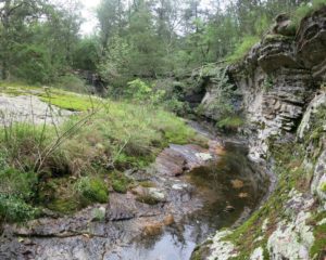
Creek feeding China Falls
Tom Walden–October 2013

As I said, the trail was faint, and the further down it we journeyed, the more overgrown and indistinct it grew. Nonetheless, we stayed the course and suddenly found ourselves standing somewhere on a well-trodden trail with a new dilemma confronting us—head right or turn left? We solved the quandary by reasoning that a left would head us both north and downhill and eventually to South Prong. Off we went, and in very short time we spotted a trail branching off to our left that looked much like another trail I found the previous time out. If it was, I knew we were making progress toward our goal, because it was that branch that linked the first waterfall with the second. Not knowing with certainty where we were, though, we opted to stay committed to the trail we were on. What guided that decision was my memory of a trail on down the hill that branched to the right. It had some distinct characteristics, and if our course brought us to it, then we’d know for sure which trail we were navigating. Onward we went through lighter rain on a trail with ever-increasing declination. Each step seemed to increase my confidence of being on the trail running from the trailhead I’d found on my solo journey, and sure enough, there it was, the ‘trail of proof’ heading to our right.
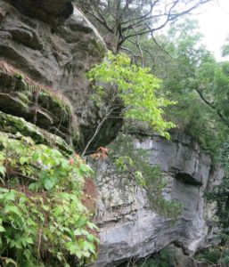
View off the top of China Falls
Tom Walden–October 2013

Knowing with certainty our location, back up the trail we headed, for there was no doubt the branch to the left we passed just minutes before was the route to navigate. In what seemed like no time at all—funny how much faster time seems to move as excitement builds—we stood overlooking waterfall number two. Still, in terms of the four waterfalls shown on the map, we didn’t know if it was number three or four or none of the above. Regardless, the beauty of the area captured our senses and cried out for photos to be taken. Of course, we acquiesced and simultaneously allowed our senses to absorb all they possibly could until the reality of an incomplete mission gnawed at us once again. So, we reluctantly tore ourselves from the beauty of the surroundings and focused our attention to the trail winding northward up the hill. There was more exploring to be undertaken, and given we were entering territory never visited by either of us, it was like a brand new adventure awaited.

Uphill we strode navigating the rhythms of the rain and marveling at the revived brightness of the mosses populating the bark of pines and hardwoods. Having kept a close eye on my topo throughout the trek, I was growing increasingly confident of our whereabouts when, all of a sudden, we approached another junction. Tom and I surveyed our surroundings and agreed the terrain matched that of a certain location on the map. We speculated that if we were where we thought we were, a short walk on the trail to the left would have us standing on Rand Road. With no better means of checking the accuracy of our navigation skills than to head left, off we went along the newly discovered stretch of trail. In no time at all, there we stood square on the road at, yet, a third trailhead. There was no doubt at all about where we were at that point, but uncertainty about our location relative to the four falls remained. You see, I overlooked the importance of packing the paper map of the falls in a ziplock. Consequently, it had succumbed to the ravages of wetness and was, for all intents and purposes, rendered unreadable.
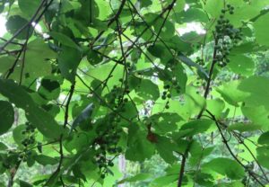
Ah, those Leatherwood muscadines
Tom Walden–October 2013

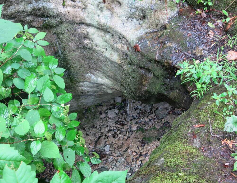
Fortunately, I did come prepared with the waterproof map of the east half of the Buffalo National River in hand. But, given the falls are not noted on it, we still had no way of knowing for sure whether the trail we intersected would take us to another waterfall. What we predicted with reasonable certainty was that heading back up the trail and on past the intersection we had encountered just minutes earlier would lead us, at the very least, to South Prong. Off again we went with a growing sense of determination to find an answer to the question that had spawned our undertaking. In no time at all we hit the point where the two trails linked and pushed forward moving downhill. By that time, stretches of the trail had turned into mini-creeks, of sorts, and given the steepness we encountered now and then, watching every step had become all-important. We were both focused; I was in the lead. No one wanted to slip and risk injury, and the thought of stopping to observe the surroundings had all but vanished from my mind. Somehow, though, the thought occurred that it was important not to watch just where I stepped but to pay attention to the area through which we were navigating. Up went my line of vision, and to my surprise, I spotted what appeared to be a rock ledge with a hole worn through it. I could barely believe my eyes! I stood and stared for a moment and then shouted to Tom our success—we had found Little Glory Hole! Of course, had I never laid eyes on Glory Hole Falls down in Newton County, I might have never reasoned our reality. But I had, and the two, from on top at least, share a distinguishing feature—a hole through which a waterfall originates.
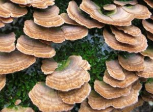
More of the Leatherwood fungi
Tom Walden–October 2013

Finding Little Glory Hole left no doubt the waterfall we saw earlier that day was China Falls, and the first of the two I found on my previous venture was Cougar—Tom had yet to view it. There was one falls left to find, and we knew its location—roughly. As the day was growing long, we decided to venture back to the vehicle and leave Crosscut, the fourth in the series, for another day.

Enough, then, of the backstory and on to sharing with you what this was intended to be about—the August 4th hike. It was a Sunday much akin to the Sunday that welcomed us when we found Little Glory Hole. Sky was gray, thunder rolled now and then louder at times than at others, and the gnats were IN OUR FACES!!! To my way of seeing it, they are the ultimate perpetrators of annoyance—okay, skeeters rate right near the top, too. I was praying for rain and lots of it!
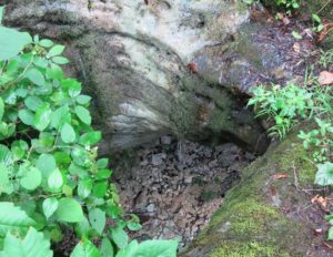
Looking down through Little Glory Hole
Tom Walden–October 2013

For this day’s hike, we paid attention to our surroundings as we rumbled slowly down the road in search of the third trailhead we stumbled upon during the preceding romp through the woods. Naturally, by doing so, we spotted the first trailhead—the trail that, providing you navigate the proper tributaries, rolls past Cougar, China, and Little Glory Hole. Since Tom had yet to lay eyes on Cougar, we opted to stop the car and start there instead of traveling a mile or so down the road to trailhead three. We reasoned that regardless of where we initiated the hike, the trail system linking the first three falls would surely lead us to Crosscut.

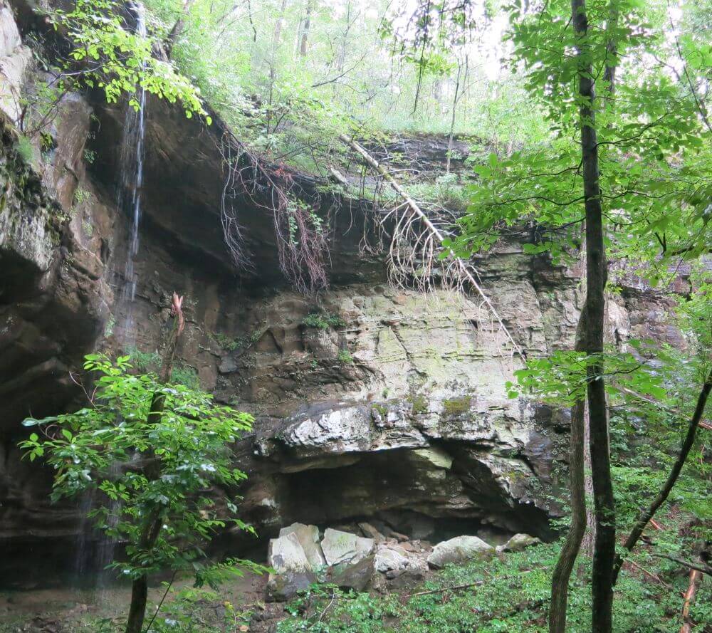
Off we ventured, stopping every time we encountered a picture-perfect moment, and there were many! The rains allowed for a bounty of fungi, mosses, and a few fine patches of muscadine, and with the deep cloud cover blocking the suns rays, colors appeared brilliant. Soon we encountered Cougar with its 77-foot drop amidst canyon walls. Then came China—a mere 68 footer—and, alas, Little Glory Hole—only 18 feet from top to bottom. We scoured every inch of the trail for signs of another trail branching off in the direction of Crosscut but were left to conclude there was none.

From Glory Hole on north, the trail drops downhill precipitously to South Prong. Downward we continued through a forest thick with vegetation stunningly beautiful all along the way. At South Prong, we headed west on a trail that runs the entirety of that creek to the Buffalo. Of course, we weren’t headed for the Buffalo, just Crosscut. Cruising in the direction of the final falls, we kept our eyes peeled for anything resembling a trail—there was nothing. However, using the map as our navigation tool, we eventually found what we presumed was the confluence of the intermittent stream coming off Cougar and South Prong.
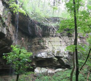
Crosscut Falls running wild
Tom Walden–October 2013

After a few moments of debate regarding our next move, we opted to head uphill using the eastern contour of the drainage as our guide to Crosscut. The gnats were terrible and made bearable only by what I believe was Bear Grylls’ confirmation of those nuisances being a great source of protein. As luck had it, though, the skies opened and showered us with an abundance of gnat proofing. What a welcomed relief!! Upward we climbed over rocky terrain and around boulders, through dense forest and numerous thickets, and oh, I mustn’t forget to mention, relentless incline and no sign of anything resembling a waterfall.

As we trod uphill, my attention was given solely to the lay of the land, and when I paused for a rest and to see what Tom was doing, he was nowhere to be seen. So, I waited and caught my breath and waited some more, and still he had not appeared. Rain was pouring down steadily, and even though it had let up some, I knew it would stifle any attempts to communicate our locations via whistles and shouts. I had to give it a shot, nonetheless, so I blasted three loud whistles. Nothing. Three more, and then another series followed by another. Nothing. Perhaps shouting would work best, so I gave my vocal cords a little exercise, and after shouting Tom’s name a couple or so times, I heard his response. Before long, he was within sight and made it clear he was ready to head straight for the top instead of continuing on along the rugged course we had been been traversing. I agreed it was probably best to head up the hill, but for me to do so, I had first to find an opening in the bluff that blocked my ascent.
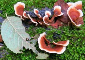
Picturesque Leatherwood fungi
Tom Walden–October 2013

Climbing on wet rock can be tricky and very dangerous, so it was deemed preferable a clean opening through the bluff be found through which to initiate a climb. Off, then, along the base of the bluff I trudged in hopes of finding such a gap, and it was as I rounded a sharp protuberance of rock that something not but maybe 100 meters beyond caught my eye. The woods can play tricks on one’s vision, and having firsthand experience of that, I stood for a bit and swayed from side to side in an effort to determine if what I thought I was seeing was truly for real. That little exercise in reality testing helped me derive the conclusion that, indeed, I was looking at a rock wall reminiscent of those that distinguished each of the three previously visited falls. Cuffing a hand behind each of my ears and listening intently for the sound of falling water confirmed what I hoped it would. Yes, we had found it.

Again, Tom was not in sight, so I let go three shrill whistles in hopes he would hear them and respond. From off in the distance, he shouted out his location. Knowing he was just a few minutes back in climbing time, I held position till I got a visual on him and then informed him of the find. The joy of our discovery quickly relieved our minds and left the burn in our legs and lungs virtually irrelevant. Alas, Crosscut was ours to behold.

Unlike the other falls, we came into this one from the base. The rain that had been steadily falling for the past 45 minutes or so allowed for a nice flow of water from above into a receiving pool below. It was beautiful, and though we were thoroughly drenched by that time, we each took a turn or two sticking our head into the water pouring from 53 feet overhead. What a sight and sensation it was, and to think, we almost missed it!
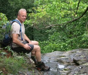
Hiker dude laz’n before the rains atop China Falls
Tom Walden–August 2013

While we absorbed the sights and sounds enveloping us, I turned and gazed down at the surrounding terrain. Suddenly, my eyes fixed onto something, and at first I thought I might be seeing things. Could what appeared on the ground a few feet away provide the answer to the question I had pondered since initiating the quest to find the four falls, What inspired someone to name this falls Crosscut? Well, perhaps it earned its moniker from what laid just a few feet away—an old, rusty crosscut saw blade. Maybe, just maybe the mystery had been solved.

Well, with the day and adventure all but complete, we headed for the top and on to the road—a relatively easy hike. Our curiosity was cured, our senses were quenched, our clothing was thoroughly drenched, and the gnats were no problem at all! Another challenge was met, and the potential for future quests had been discovered. Of course, what those are will be fodder for future posts.

Hike on!!
Trail Bagged from Spring Creed Road to Dillards Ferry/Hwy 14 Buffalo River Bridge

Been hearing about some of the newer Buffalo River Trail (BRT) located down southeast of Yellville, Arkansas. Heard it was a nice place for a hike, not too difficult, and had some great views of the Buffalo River. So, this past Friday I decided to give it a hike, and I found it was all it had been hyped to be.

To get there from Yellville, just take highway 14 south till you reach the bridge over the Buffalo River. The parking area and small picnic park and canoe landing around the bridge are known as Dillards Ferry according to the signs there and the National Geographic Trails Illustrated map of the Buffalo National River East I had with me. At the beginning of my quest, I had no idea that the trailhead started under and about 50 feet to the west of bridge. The trail is not marked on my map which was revised in 2009, and what I had read about it said the trailhead was actually on Spring Creek Road. So, instead of starting at Dillards Ferry, I traveled 4 miles on down the road southeast on 14 till I saw the signs pointing the way to Spring Creek Campground (3 miles in to the west). At around 2 miles down the road on the right is the trailhead marker pointing the way up the trail 6.1 miles to the Buffalo River bridge. There is no parking area at the trailhead, so I pulled as far off the road as I could get and headed north down the trail.

I might mention that the trail also takes off to the south just across the road from the part of the trail I hiked. There is no sign saying where or how far that part of the trail takes you, but I’ve heard rumors it heads south along the Buffalo River, bends with the Buffalo to the northwest, and ends at Maumee South campground. Looking at my map I would guesstimate the distance at between 5 and 6 miles. That will be a hike for another day.

Back to the hike I took. It had been some time since I hiked in the summer, so I had kind of forgotten about some of the less pleasurable aspects of hiking along the BRT in the warm season: cobwebs and horse flies in abundance. I’m just thankful I was in good enough shape to be able to hike most of the trail without having to open my mouth to breath. You see, I had forgotten my bottle of Tabasco, and cobwebs without a little spice are very bland.

That said, the rest of the experience was well worth the bothers brought by the webs and the flies. For one, the trail is probably in the moderate range of difficulty as BRT goes. Heading north on that section of trail, most of it is not challenging making for a relatively easy hike. There is one climb, though, that begins just about as soon as you cross Kimball Creek that takes you up the mountainside to the top of a little bluff. From there the trail meanders along mildly sloping uphill for a ways before gradually winding back down the the slope and hooking into an old road shown on my map as “Tie Chute Road.” At that point, I took a turn to the right, and about a half-mile later I was at the bridge/highway 14. On the way back to Spring Creek Road, there are the inevitable stretches of uphill, but the only one of any significance comes during the last mile to mile-and-a-half of the trip. There’s a stretch in that part of the trail that used to be an old road, and for about a quarter to a half mile there is a nice little uphill grade to traverse.

Image via Wikipedia


Almost all of the trail is well shaded by the canopy of the hardwoods, and the vegetation all along the way is lush. There are a handful of water crossings, but only one of those (Kimball Creek) resulted in me getting my feet wet. I’ll bet if I had wanted to take the time to explore up or down the creek, I would have found a place to cross on the rocks and could have easily stayed out of the water. Recent rains had caused the creek to be up, but where I crossed left me wondering how it had ever deserved the ‘creek’ designation. It was certainly not wide — about a two stepper — but just wide enough that I could not jump from one side to the other. Looking at the map, the creek itself is only about 2 miles from source to river — more of a drainage in my books.

The high points of the trek? Well, there were several nice views of the Buffalo from up high, and those views helped me gauge my route on the map. There was plenty of solitude; not another person was on the trail, but every once in awhile I could hear folks talking while paddling down the Buffalo in their canoes. Got to see a couple deer and one turkey, several other species of birds, a bunch of big snails inching their ways across the trail, butterflies of all sorts, and a very nice rain storm. I love to hike in the rain, especially when I am up high and can see out across large areas and watch the wind blow the rain into patterns as it falls. The downside of the rain was that it came to an end, and when it did and the sky cleared, the woods turned into a sauna.

Would I recommend this section of trail? You bet! If you like solitude, the sounds of nature, the lushness of the forest, and only moderately challenging terrain, this is a nice hike. Not too tough, not too easy, and certainly not boring. Oh, and did I mention, it is beautiful!
I’ll let you know how the other half of the trail is once I bag it, but till then, hike on and enjoy every breath of life you can take.

Phil