Ah, another great day for an exciting adventure—as though any day could be otherwise. The inspiration for this day’s journey developed from having discovered, during the Crosscut Falls hike, yet another trail branching off the main trail that runs the length of South Prong Middle Creek in Leatherwood Wilderness. Yes, it was back to my favorite wilderness area, and joining me once again was my intrepid hiking partner, Tom.
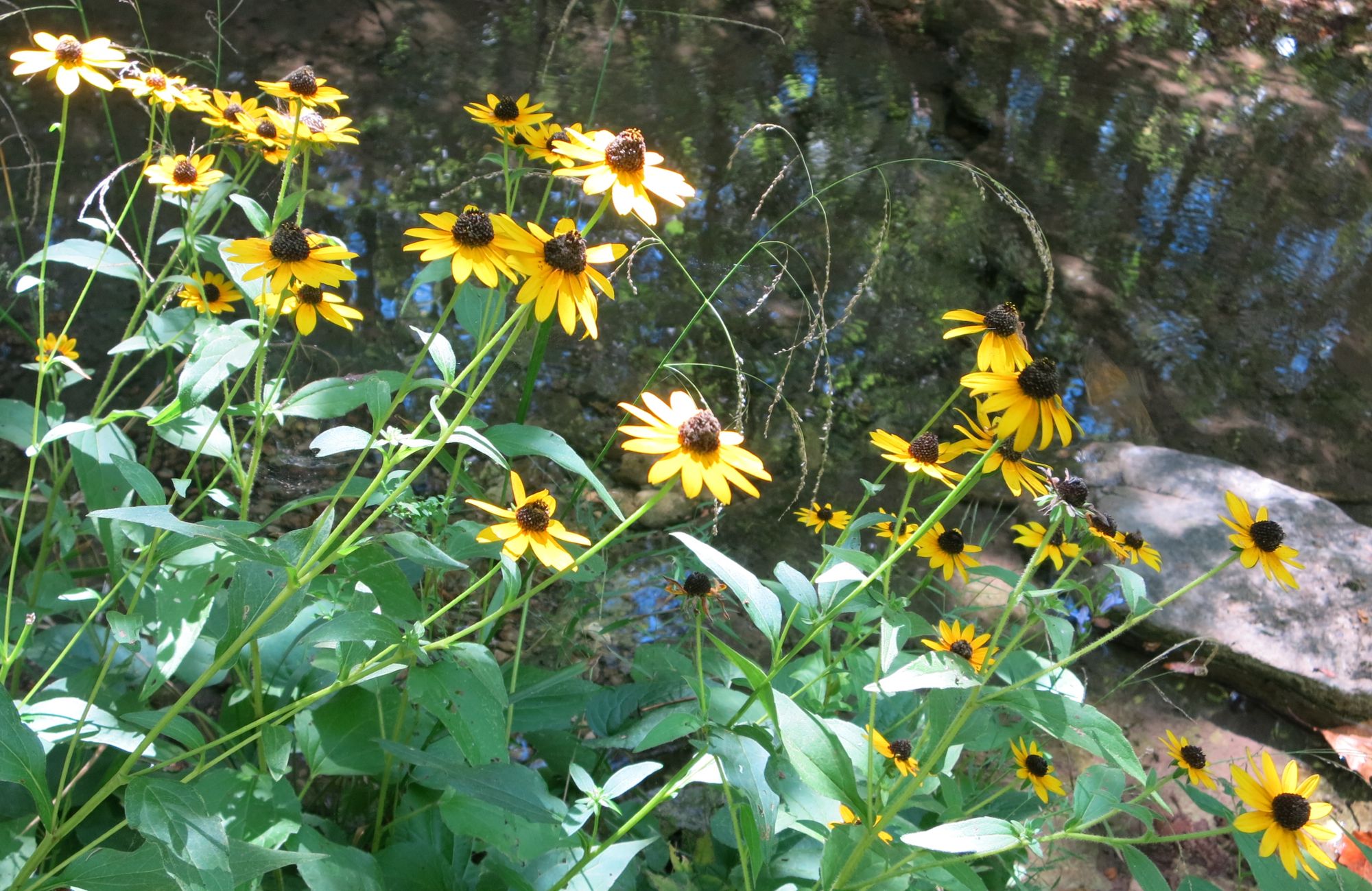
Let the Sun Shine In–Leatherwood Wilderness
Tom Walden–2013
Here it was, a Saturday, smack in mid-September with hardly a cloud in the sky. No rain was in the forecast—there had been no rain since the Crosscut hike—and the temperature was headed for the low 80s. Tom and I hooked up at the location we chose as our standard rendezvous spot for exploration of the southeastern part of Leatherwood, and off we went.
The trailhead we decided on for today’s hike was the third of three—in terms of distance from the main road—we had discovered during the waterfall finding excursions. Again, as is the case with all the wilderness trailheads, this one is not marked, per se, but we remembered some key landmarks to help us find it. Sure enough, our recollection of those markers and close observation for the lay of the land took us right to our proposed launching point without a hitch.
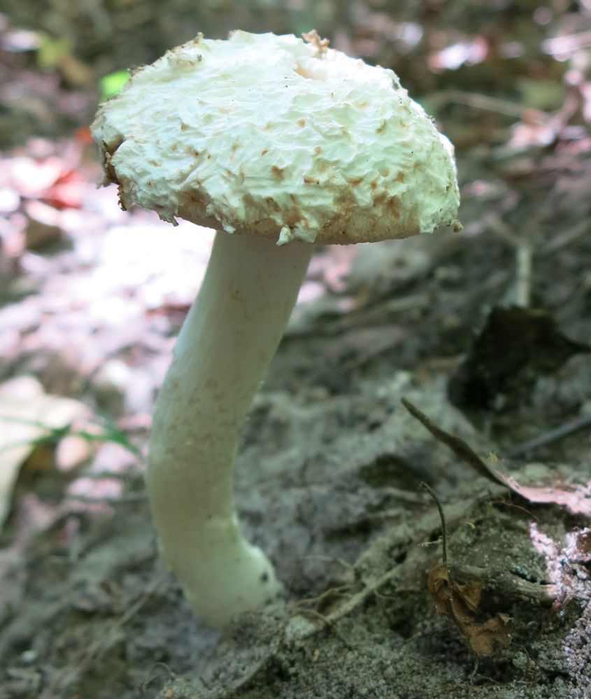
The Fungus Among Us
Leatherwood Wilderness
Tom Walden–September 2013
For those who have access to a Trails Illustrated map of the eastern part of the Buffalo National River, I’ll break here to give you a visual reference as to where this particular journey was to take us. To start, you turn off Push Mountain Road (Arkansas state highway 341) onto Rand Road (Forest Service road 1118) and head west. On the map the road is labeled ‘Rand Road, and our starting point was at the bend in the road just right of the “d” in Rand. From there, our course was primarily south past Little Glory Hole to South Prong of Middle Creek.
Once we hit South Prong, we stayed on the trail as it meandered primarily to the northwest for approximately a third of a mile looking as we went for the branch off the main trail it was our goal to explore. Along the way was Little Glory Hole Falls where we agreed to stop for a bit in hopes of finding an easy route to its base—Tom was hoping for some pictures of the site from the bottom up. While surveying the area, we heard a high-pitched buzzing sound I began to suspect emanated from a bee hive somewhere in the vicinity. We couldn’t see any sure sign of bees or hornets flying around, but the noise was sufficient enough for us to decide not to linger, and with that, we moved on.
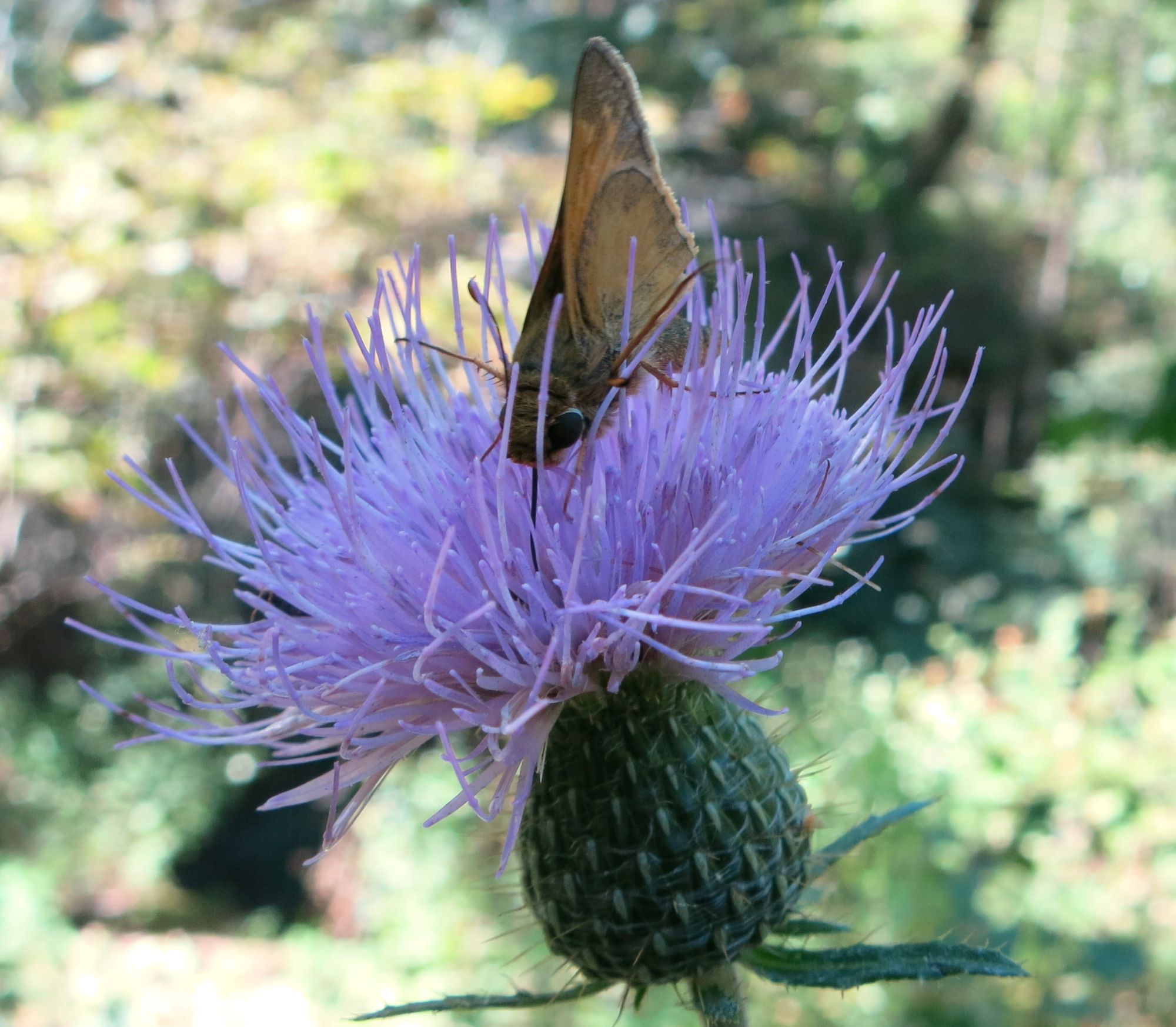
Soft and Prickly–Leatherwood Wilderness
Tom Walden–September 2013
In any case, having hiked about a hundred yards or so up the branch trail the last time out, we knew it ran at least a short distance up the unnamed drainage flowing from the northeast into South Prong. Our goal was to learn just how far up that drainage it went and if it would take us to the designated parking area atop Griffin Ridge.
Apart from the possible hive of bees and a few fungi along the trail, the trek had been relatively uneventful up to the intersection right in the creek bed of the main and branch trails. However, about as soon as we veered onto the trail we were determined to explore, we were greeted by a bevy of beautiful butterflies dining on some recently deposited scat. For those who have not studied up on butterflies, one of their favorite delicacies is dung, and it appeared the buffet was on.
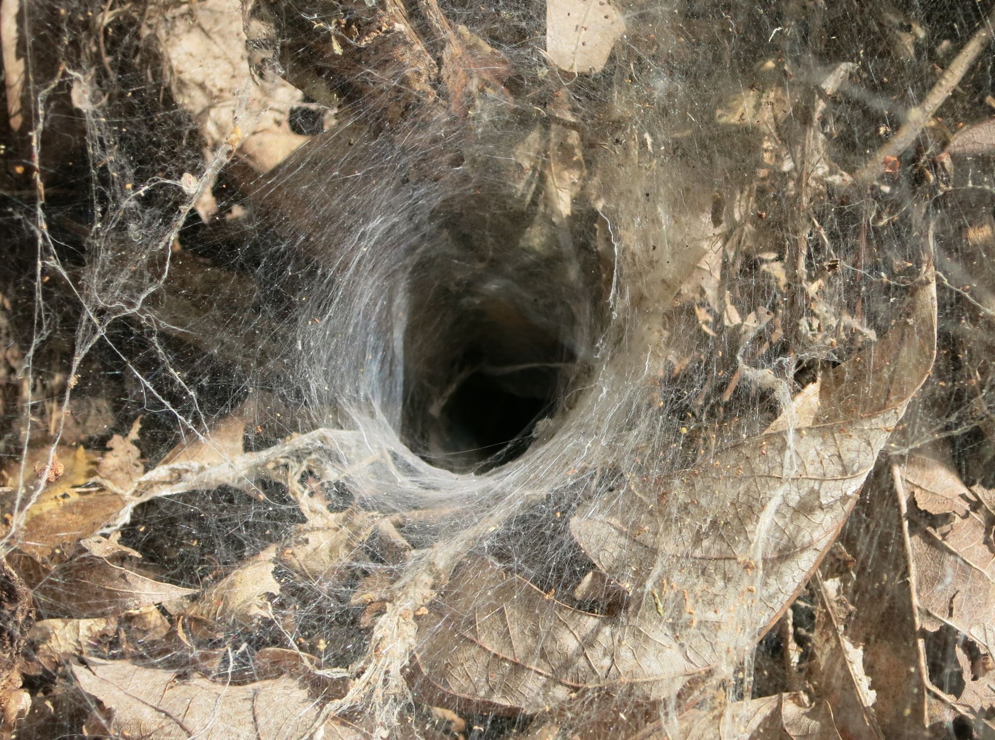
Welcome to the Spider’s Lair
Leatherwood Wilderness
Tom Walden–September 2013
After spending a few moments taking note of the beauty of the butterflies, we were off to see where the trail would take us. It was a nice single track that followed what appeared to be an old road bed, and the slope was mild. Gradually upward in elevation we maneuvered with me in the lead, and we made sure to stop for every photo op we encountered. Fortunately, my gaze was down much of the time, and I say this because it kept me from very possibly smashing to smithereens what was a really cool find—a tarantula taking a break smack dab in the middle of the trail. This, for sure, was a photo-worthy little creature, and as you can see from the accompanying pics, Tom took advantage of the moment. We felt it was our lucky day as the critter accommodated our curiosity by posing patiently while the camera snapped on from one angle after another.
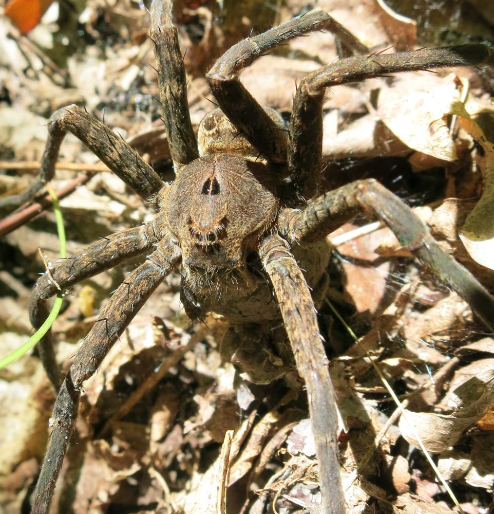
Wanna Dance?
Leatherwood Wilderness
Tom Walden–September 2013
After spending a good deal of time oohing and awing and photographing our surprise find, the journey was back on. The gnats were everywhere at all times, and whenever there was a break in the action, you could hear the incessant cacophony of their countless numbers punctuated by the louder buzz of horseflies. Oh, were there ever horseflies, and I was apparently on their menu. Tom, on the other hand, seemed to be some sort of horsefly repellent. I cannot count the number of times I was viciously assaulted by those blood-thirsty dive bombers while Tom encountered little more than a flyby. I must admit, though, I’m pretty sure I saw at least a couple butterflies land on him—I had to wonder what was up with that.
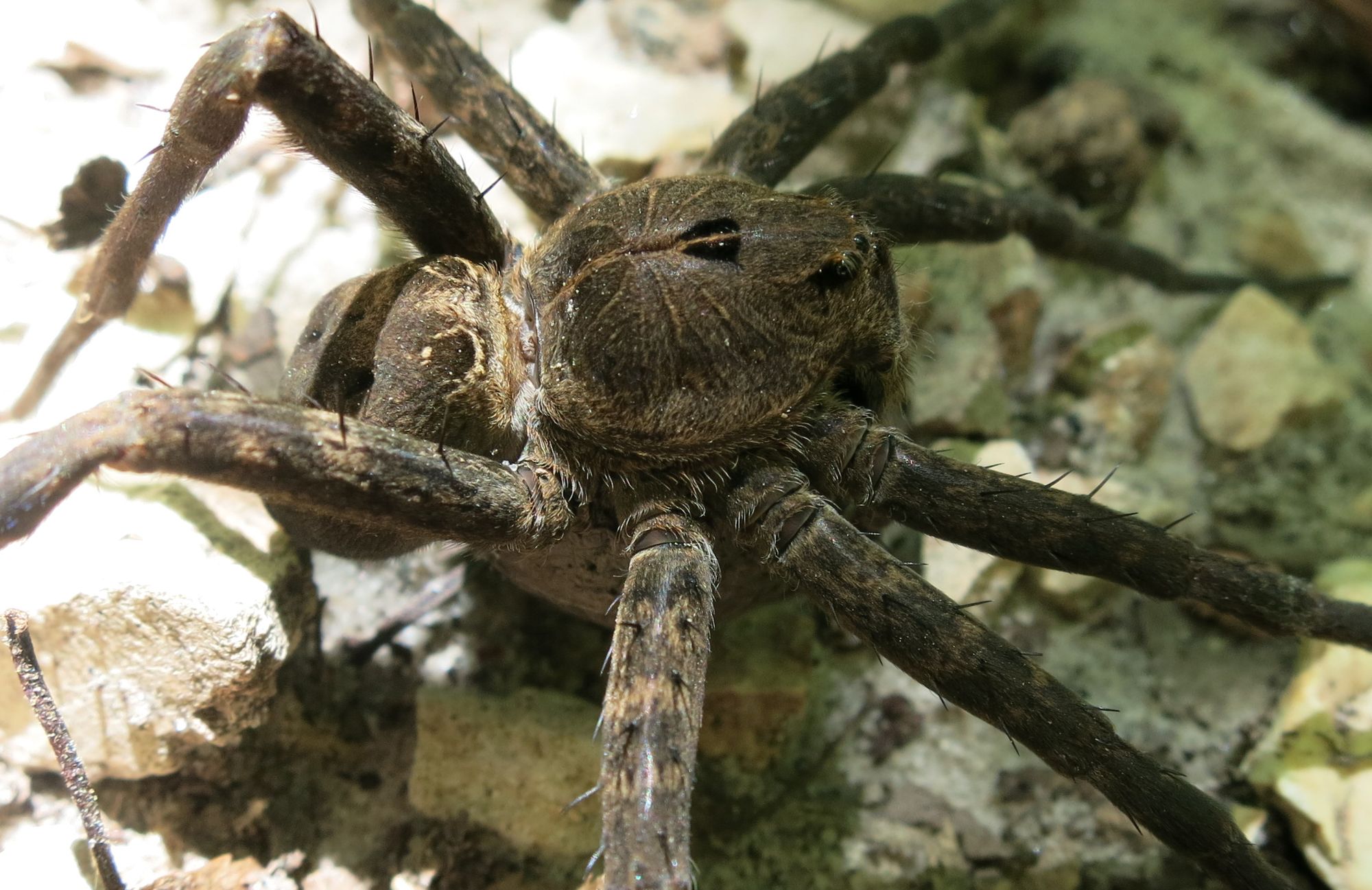
The Itsy Bitsy Spider
Leatherwood Wilderness
Tom Walden–September 2013
In any case, after about a mile on the branch trail, we encountered what would have been about a six-foot waterfall, and at that point, the trail took a decided turn to the north. Certainly, it was an opportunity for some more pics, so while Tom snapped away, I walked on up the dry creek bed in search of any sign of a trail leading to Push Mountain Road. According to the map, we were only about a half mile from the highway, but that was apparently inconsequential in terms of where the trail led. It took little time to determine that where we were was not where two trails intersected. Indeed, the trail shot north. Upon returning to our stopping point, I found Tom still engrossed in capturing in digital format the beauty of the area. So, I decided to make use of the time by heading up the trail in the direction of Farris Ridge. What I found after traversing a couple hundred yards up the clearly defined trail was a significantly greater incline in the slope compared to what we had grown accustomed to, and there was no indication of the trail heading back east toward the road. Given that, I turned around and headed back toward Tom who, as I found, was already coming up the trail toward me.
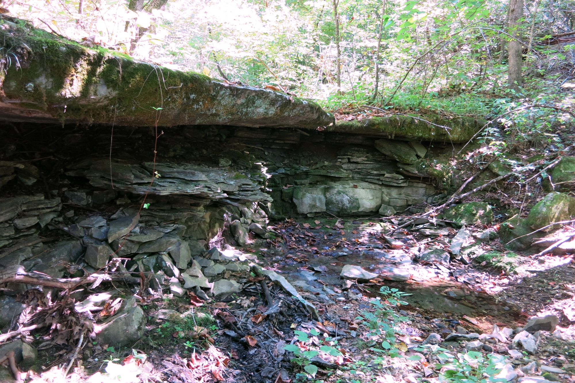
Dry Falls–Leatherwood Wilderness
Tom Walden–September 2013
As I noted earlier, our mission was to hike the branch to its final destination, so once Tom and I reunited, a brief conference ensued to determine our course. In deciding whether to continue on or turn around, a number of factors were weighed. First on the list was the time of day. We started late, so by that point we were about at mid-afternoon. Of course, we both carry headlamps and extra gear, so getting caught by darkness was no big deal. As it turned out, though, the deciding factor was a thing called conditioning. Put simply, the nature of our jobs leaves us both with little opportunity during the week to exercise, and though we felt fine at that juncture, we figured it best to not slip into a state of denial about the condition we knew we were not in. Once that topic surfaced, the decision to turn around soon followed.
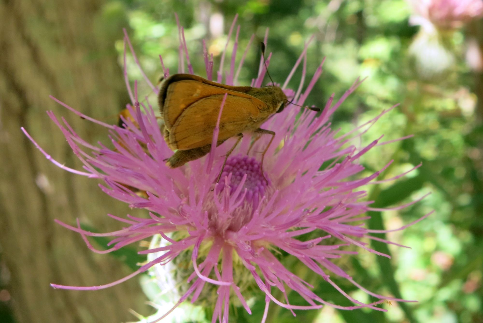
Thistle Get You–Leatherwood Wilderness
Tom Walden–September 2013
Admittedly, we fell short of our goal, and that realization was not the most pleasant thing to swallow. However, our disappointment dissipated gradually but surely as we moved back downhill toward South Prong and resolved to turn this missed opportunity into a two- or three-day backpacking experience. Yes, we agreed to return—we found a few spots along the way that would serve well as camps—to complete our quest. And, yes, return we will! I’ll keep ya’ll posted.
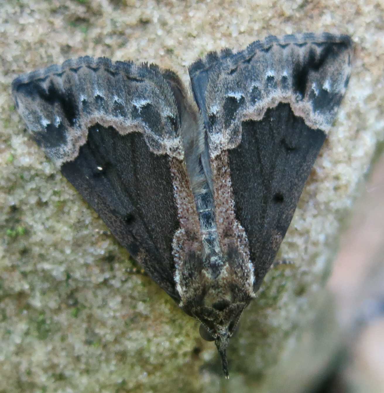
Master of Camouflage
Leatherwood Wilderness
Tom Walden–September 2013
Hike on!!
Do you do career counseling Dr. Phil? My current job is just sucking the life out of me. I’m all happy and I walk through the doors at work and say to myself, I hate this place, then I start walking up the stairs and say to myself “get it together girl, I love this place, I love this place, I love this place” but I don’t always believe me. Anyway, I feel like I’m so close to being able to get another degree and w/ my VA benefits, I think I can get school for free. I really need help w/ the counseling part and I decided I want to go for Psychology and since you have taught, well I thought you may be a better counselor than the counselors I have been talking to.