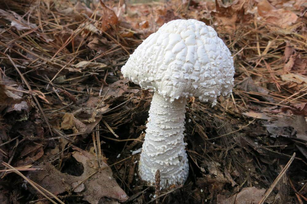
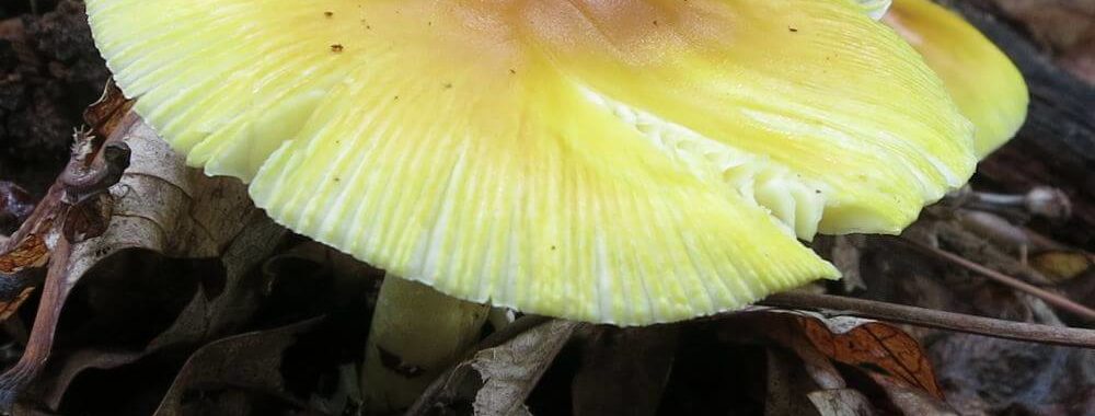
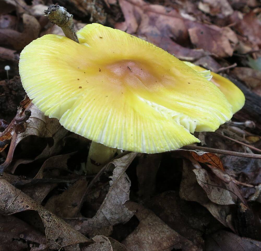
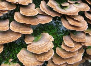
Leatherwood fungi–early August
Tom Walden, August 2013
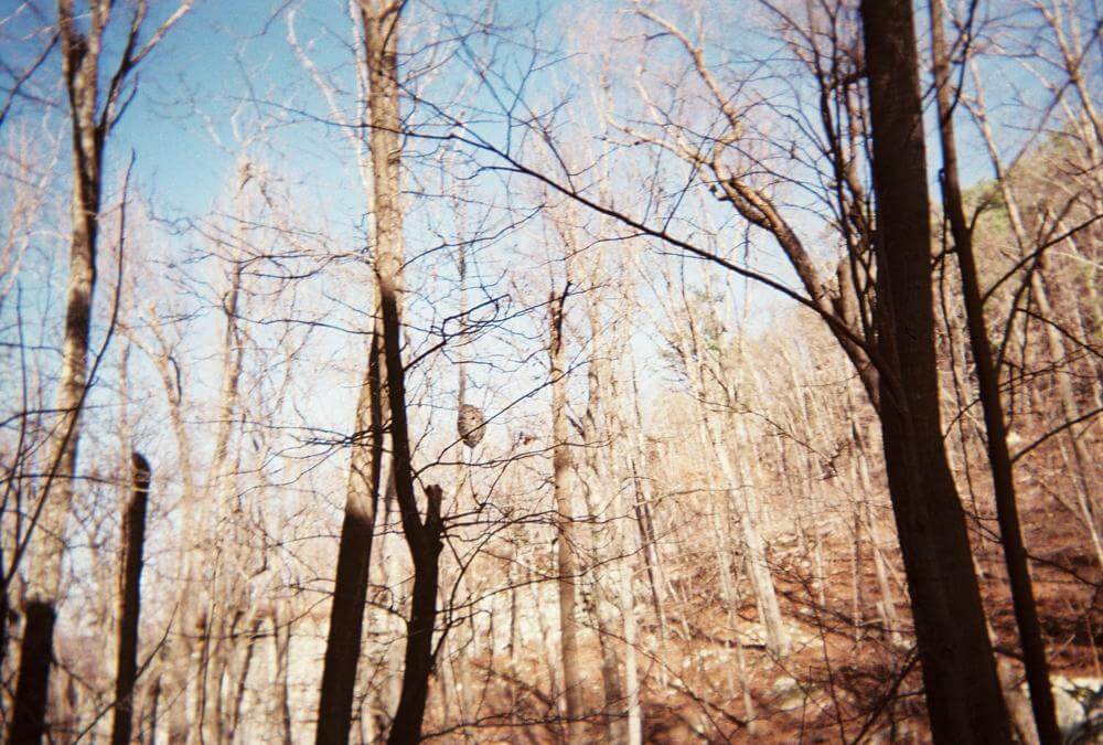
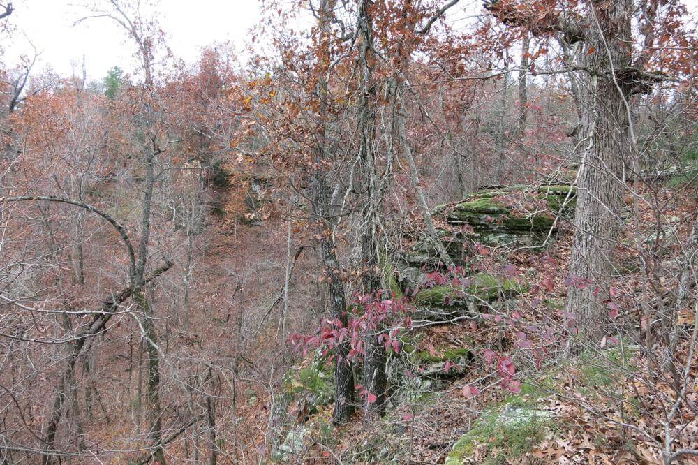
There’s nothing quite like a wilderness area, and of the five here in northwest Arkansas, my favorite is Leatherwood. It served as my refuge from late October through most all of November 2004 when I was between jobs, and it remains at the top of my list of hiking, backpacking, and exploration locations. So, Sunday, August 4, my hiking/backpacking partner, Tom, and I ventured to Leatherwood for a hike of exploration. Our goal: find one of the four waterfalls named—and sort of located—on a map I downloaded last fall off the internet. All four lie to the south of South Prong, the southern most drainage or creek in Leatherwood Wilderness Area, and if you draw a line on the map from Cougar Falls, the one farthest south, to Crosscut Falls, the northernmost of the four, its slope would run northwesterly.
Now, about two weeks or so earlier, I ventured solo into Leatherwood and managed to locate two falls but was unsure which of the four I had found. I wasn’t even sure I could remember where the trail that linked the two intersected the road—I never mark a wilderness trailhead. Why the uncertainty? Well, in my rush to get on the road and to a trailhead, I overlooked packing a compass—I know, never head into the wilderness without a compass. With no uncertainty, though, my curiosity was peaked. So, I contacted Tom in hopes he would be up for a jaunt into the woods to see if we could solve the problem of the unknown falls. Naturally, he was all for it, so we agreed on a rendezvous location, and the adventure to figure out what was what was set.

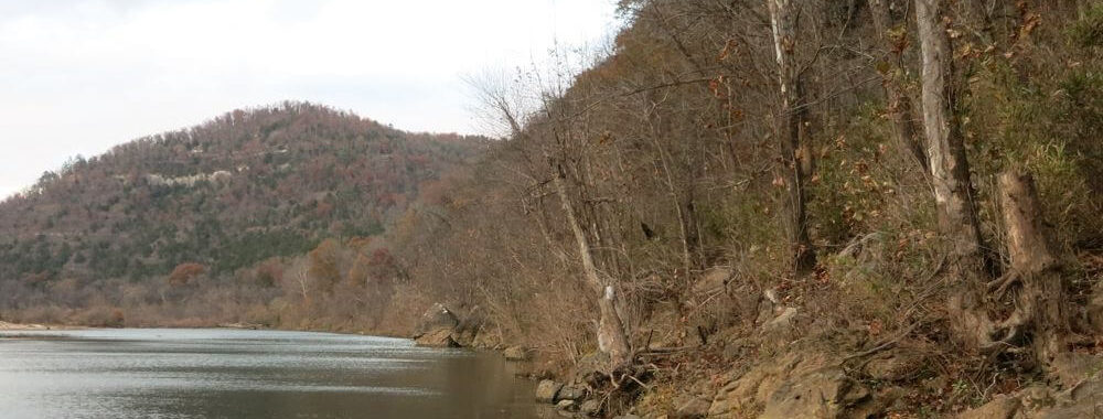
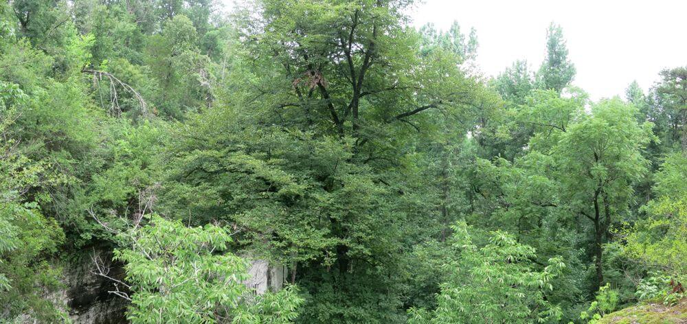
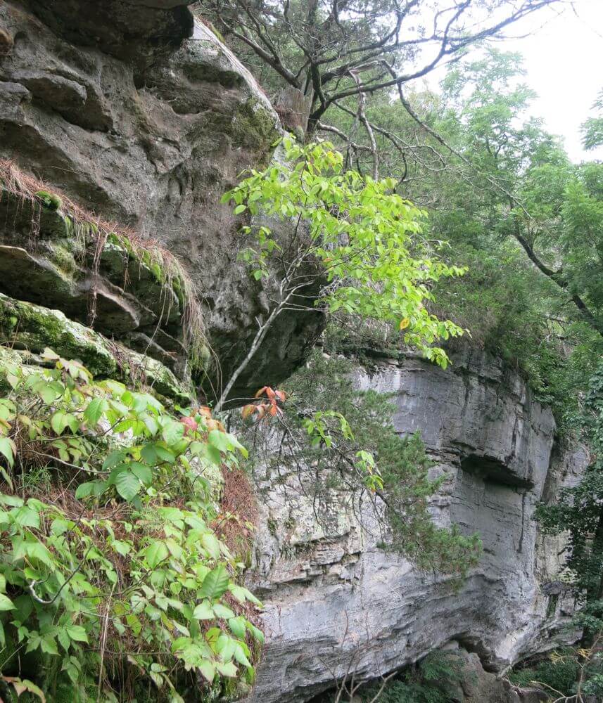
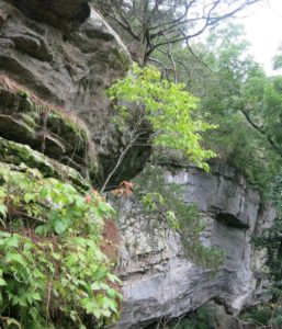
View out from Cougar Falls
Tom Walden–October 2013
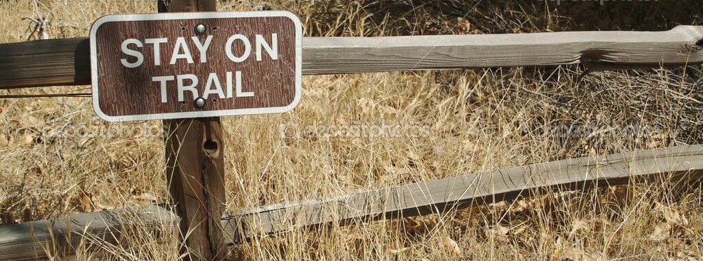
Now, there are good and not so good points about not marking newly discovered trailheads, and so as not to belabor the issue, I will note just one of the latter. Specifically, you just might not find what you’re looking for without first searching a great deal. That said, after hooking up, Tom and I took off down Rand Road anticipating being able to readily spot the trailhead. As it turned out, though, there was something we overlooked—finding a faint and unmarked trail requires close observation of the roadside. The things we observed most as we drove along were the map, a compass, Tom’s smartphone GPS, and not the roadside. Where that got us was well down the road past the intended launching point. Realizing our oversight, our eyes were suddenly fixed to the edge of the road, and because of that we finally spotted what we thought might be an alternate trailhead. Upon closer observation, it appeared indeed there was a little traveled trail heading off into who knew where. We didn’t know exactly where we were relative to the trail we had intended to use, but it took little discussion for us to decide to hit that trail and see where it led. After all, adventure was what we were there for.
The sky was overcast with an occasional rumbling of thunder in the air. The temperature was mild—somewhere in the low- to mid-70s. Best of all, the gnats were in abundance!! Okay, the gnats were not at all the best of anything. Off we went anyway. Fortunately, rain made its presence known and before long it dominated, but it proved to be a huge asset in a couple ways. For one, it assured we did not overheat. Better yet, not being aquatic by nature, gnats flit to cover to avoid the pummeling they’d take from a heavy downpour. Rejoice!!!
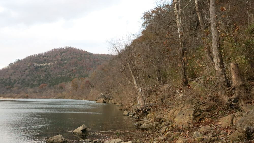
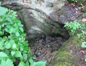
Creek feeding China Falls
Tom Walden–October 2013
As I said, the trail was faint, and the further down it we journeyed, the more overgrown and indistinct it grew. Nonetheless, we stayed the course and suddenly found ourselves standing somewhere on a well-trodden trail with a new dilemma confronting us—head right or turn left? We solved the quandary by reasoning that a left would head us both north and downhill and eventually to South Prong. Off we went, and in very short time we spotted a trail branching off to our left that looked much like another trail I found the previous time out. If it was, I knew we were making progress toward our goal, because it was that branch that linked the first waterfall with the second. Not knowing with certainty where we were, though, we opted to stay committed to the trail we were on. What guided that decision was my memory of a trail on down the hill that branched to the right. It had some distinct characteristics, and if our course brought us to it, then we’d know for sure which trail we were navigating. Onward we went through lighter rain on a trail with ever-increasing declination. Each step seemed to increase my confidence of being on the trail running from the trailhead I’d found on my solo journey, and sure enough, there it was, the ‘trail of proof’ heading to our right.
View off the top of China Falls
Tom Walden–October 2013
Knowing with certainty our location, back up the trail we headed, for there was no doubt the branch to the left we passed just minutes before was the route to navigate. In what seemed like no time at all—funny how much faster time seems to move as excitement builds—we stood overlooking waterfall number two. Still, in terms of the four waterfalls shown on the map, we didn’t know if it was number three or four or none of the above. Regardless, the beauty of the area captured our senses and cried out for photos to be taken. Of course, we acquiesced and simultaneously allowed our senses to absorb all they possibly could until the reality of an incomplete mission gnawed at us once again. So, we reluctantly tore ourselves from the beauty of the surroundings and focused our attention to the trail winding northward up the hill. There was more exploring to be undertaken, and given we were entering territory never visited by either of us, it was like a brand new adventure awaited.
Uphill we strode navigating the rhythms of the rain and marveling at the revived brightness of the mosses populating the bark of pines and hardwoods. Having kept a close eye on my topo throughout the trek, I was growing increasingly confident of our whereabouts when, all of a sudden, we approached another junction. Tom and I surveyed our surroundings and agreed the terrain matched that of a certain location on the map. We speculated that if we were where we thought we were, a short walk on the trail to the left would have us standing on Rand Road. With no better means of checking the accuracy of our navigation skills than to head left, off we went along the newly discovered stretch of trail. In no time at all, there we stood square on the road at, yet, a third trailhead. There was no doubt at all about where we were at that point, but uncertainty about our location relative to the four falls remained. You see, I overlooked the importance of packing the paper map of the falls in a ziplock. Consequently, it had succumbed to the ravages of wetness and was, for all intents and purposes, rendered unreadable.
Ah, those Leatherwood muscadines
Tom Walden–October 2013
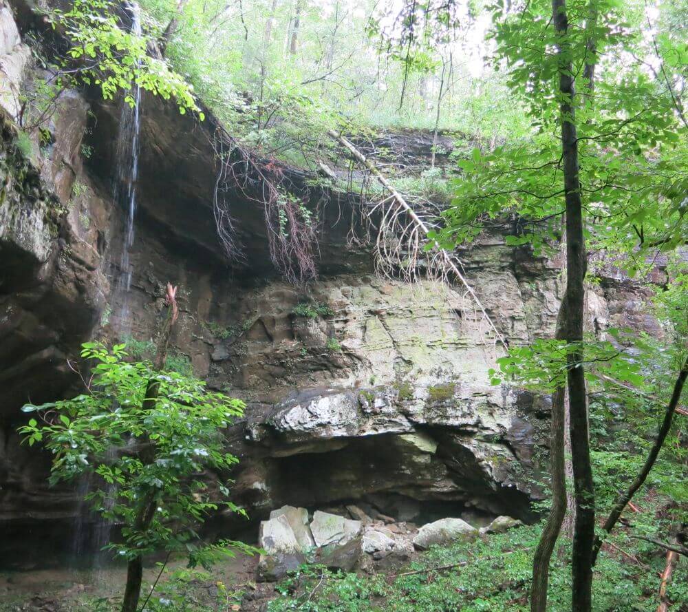
Fortunately, I did come prepared with the waterproof map of the east half of the Buffalo National River in hand. But, given the falls are not noted on it, we still had no way of knowing for sure whether the trail we intersected would take us to another waterfall. What we predicted with reasonable certainty was that heading back up the trail and on past the intersection we had encountered just minutes earlier would lead us, at the very least, to South Prong. Off again we went with a growing sense of determination to find an answer to the question that had spawned our undertaking. In no time at all we hit the point where the two trails linked and pushed forward moving downhill. By that time, stretches of the trail had turned into mini-creeks, of sorts, and given the steepness we encountered now and then, watching every step had become all-important. We were both focused; I was in the lead. No one wanted to slip and risk injury, and the thought of stopping to observe the surroundings had all but vanished from my mind. Somehow, though, the thought occurred that it was important not to watch just where I stepped but to pay attention to the area through which we were navigating. Up went my line of vision, and to my surprise, I spotted what appeared to be a rock ledge with a hole worn through it. I could barely believe my eyes! I stood and stared for a moment and then shouted to Tom our success—we had found Little Glory Hole! Of course, had I never laid eyes on Glory Hole Falls down in Newton County, I might have never reasoned our reality. But I had, and the two, from on top at least, share a distinguishing feature—a hole through which a waterfall originates.
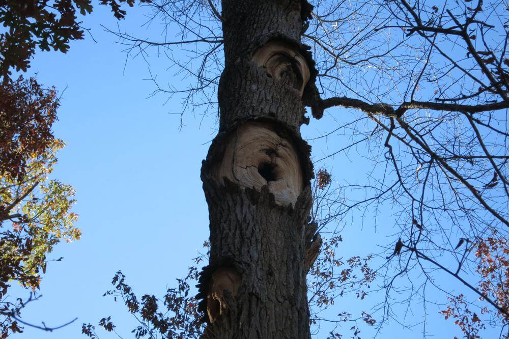
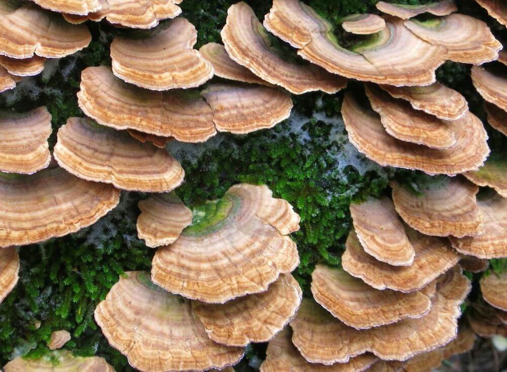
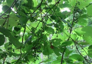
More of the Leatherwood fungi
Tom Walden–October 2013
Finding Little Glory Hole left no doubt the waterfall we saw earlier that day was China Falls, and the first of the two I found on my previous venture was Cougar—Tom had yet to view it. There was one falls left to find, and we knew its location—roughly. As the day was growing long, we decided to venture back to the vehicle and leave Crosscut, the fourth in the series, for another day.
Enough, then, of the backstory and on to sharing with you what this was intended to be about—the August 4th hike. It was a Sunday much akin to the Sunday that welcomed us when we found Little Glory Hole. Sky was gray, thunder rolled now and then louder at times than at others, and the gnats were IN OUR FACES!!! To my way of seeing it, they are the ultimate perpetrators of annoyance—okay, skeeters rate right near the top, too. I was praying for rain and lots of it!
Looking down through Little Glory Hole
Tom Walden–October 2013
For this day’s hike, we paid attention to our surroundings as we rumbled slowly down the road in search of the third trailhead we stumbled upon during the preceding romp through the woods. Naturally, by doing so, we spotted the first trailhead—the trail that, providing you navigate the proper tributaries, rolls past Cougar, China, and Little Glory Hole. Since Tom had yet to lay eyes on Cougar, we opted to stop the car and start there instead of traveling a mile or so down the road to trailhead three. We reasoned that regardless of where we initiated the hike, the trail system linking the first three falls would surely lead us to Crosscut.
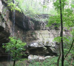
Off we ventured, stopping every time we encountered a picture-perfect moment, and there were many! The rains allowed for a bounty of fungi, mosses, and a few fine patches of muscadine, and with the deep cloud cover blocking the suns rays, colors appeared brilliant. Soon we encountered Cougar with its 77-foot drop amidst canyon walls. Then came China—a mere 68 footer—and, alas, Little Glory Hole—only 18 feet from top to bottom. We scoured every inch of the trail for signs of another trail branching off in the direction of Crosscut but were left to conclude there was none.
From Glory Hole on north, the trail drops downhill precipitously to South Prong. Downward we continued through a forest thick with vegetation stunningly beautiful all along the way. At South Prong, we headed west on a trail that runs the entirety of that creek to the Buffalo. Of course, we weren’t headed for the Buffalo, just Crosscut. Cruising in the direction of the final falls, we kept our eyes peeled for anything resembling a trail—there was nothing. However, using the map as our navigation tool, we eventually found what we presumed was the confluence of the intermittent stream coming off Cougar and South Prong.
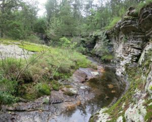
Crosscut Falls running wild
Tom Walden–October 2013
After a few moments of debate regarding our next move, we opted to head uphill using the eastern contour of the drainage as our guide to Crosscut. The gnats were terrible and made bearable only by what I believe was Bear Grylls’ confirmation of those nuisances being a great source of protein. As luck had it, though, the skies opened and showered us with an abundance of gnat proofing. What a welcomed relief!! Upward we climbed over rocky terrain and around boulders, through dense forest and numerous thickets, and oh, I mustn’t forget to mention, relentless incline and no sign of anything resembling a waterfall.
As we trod uphill, my attention was given solely to the lay of the land, and when I paused for a rest and to see what Tom was doing, he was nowhere to be seen. So, I waited and caught my breath and waited some more, and still he had not appeared. Rain was pouring down steadily, and even though it had let up some, I knew it would stifle any attempts to communicate our locations via whistles and shouts. I had to give it a shot, nonetheless, so I blasted three loud whistles. Nothing. Three more, and then another series followed by another. Nothing. Perhaps shouting would work best, so I gave my vocal cords a little exercise, and after shouting Tom’s name a couple or so times, I heard his response. Before long, he was within sight and made it clear he was ready to head straight for the top instead of continuing on along the rugged course we had been been traversing. I agreed it was probably best to head up the hill, but for me to do so, I had first to find an opening in the bluff that blocked my ascent.

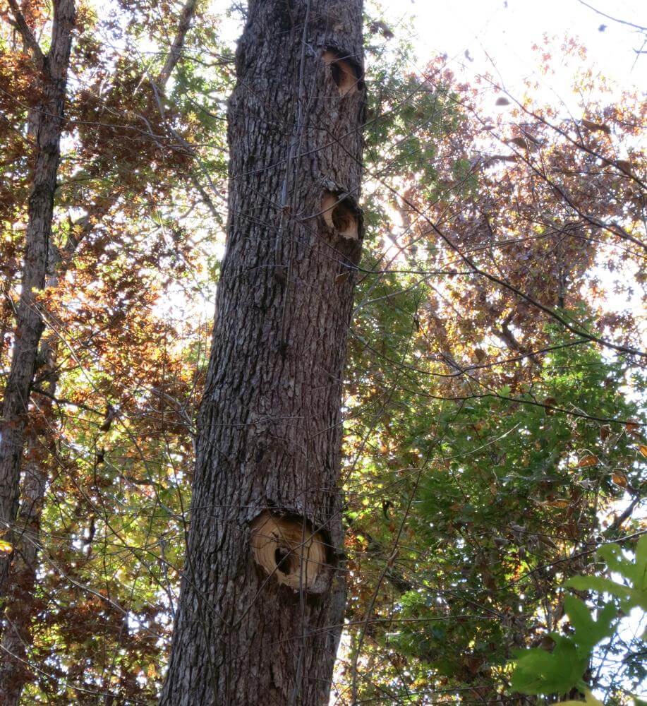
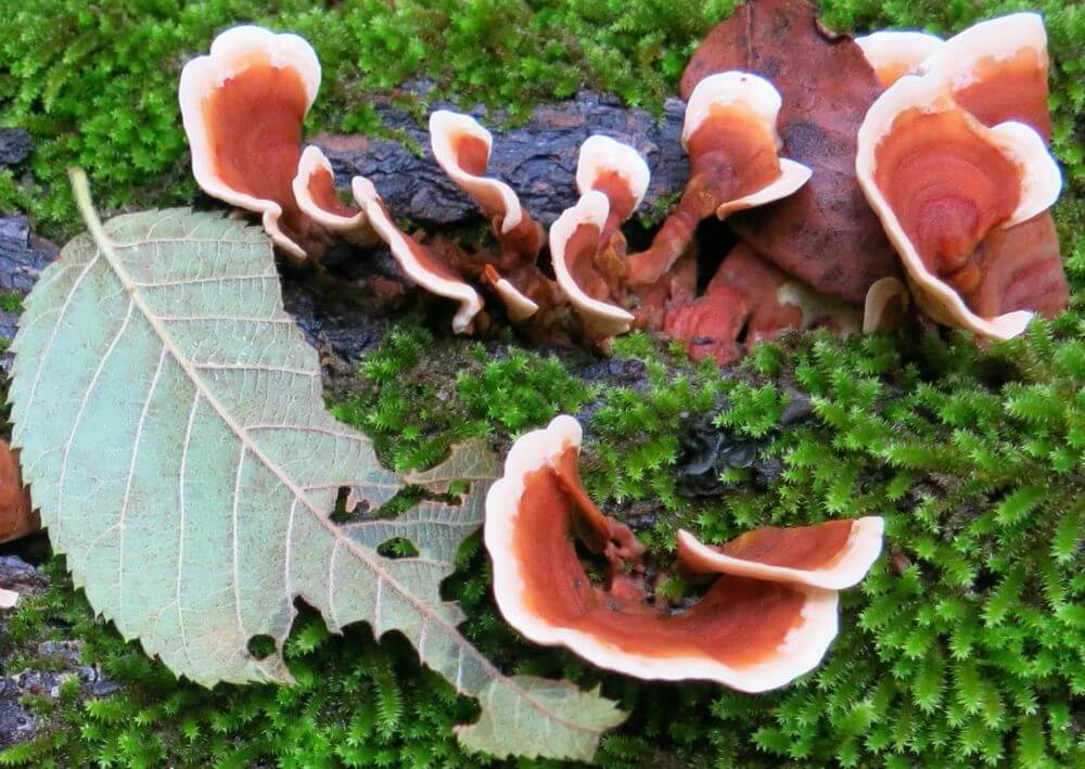
Picturesque Leatherwood fungi
Tom Walden–October 2013
Climbing on wet rock can be tricky and very dangerous, so it was deemed preferable a clean opening through the bluff be found through which to initiate a climb. Off, then, along the base of the bluff I trudged in hopes of finding such a gap, and it was as I rounded a sharp protuberance of rock that something not but maybe 100 meters beyond caught my eye. The woods can play tricks on one’s vision, and having firsthand experience of that, I stood for a bit and swayed from side to side in an effort to determine if what I thought I was seeing was truly for real. That little exercise in reality testing helped me derive the conclusion that, indeed, I was looking at a rock wall reminiscent of those that distinguished each of the three previously visited falls. Cuffing a hand behind each of my ears and listening intently for the sound of falling water confirmed what I hoped it would. Yes, we had found it.
Again, Tom was not in sight, so I let go three shrill whistles in hopes he would hear them and respond. From off in the distance, he shouted out his location. Knowing he was just a few minutes back in climbing time, I held position till I got a visual on him and then informed him of the find. The joy of our discovery quickly relieved our minds and left the burn in our legs and lungs virtually irrelevant. Alas, Crosscut was ours to behold.
Unlike the other falls, we came into this one from the base. The rain that had been steadily falling for the past 45 minutes or so allowed for a nice flow of water from above into a receiving pool below. It was beautiful, and though we were thoroughly drenched by that time, we each took a turn or two sticking our head into the water pouring from 53 feet overhead. What a sight and sensation it was, and to think, we almost missed it!

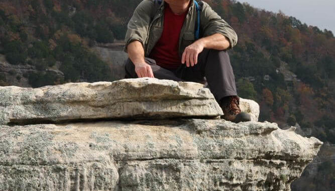
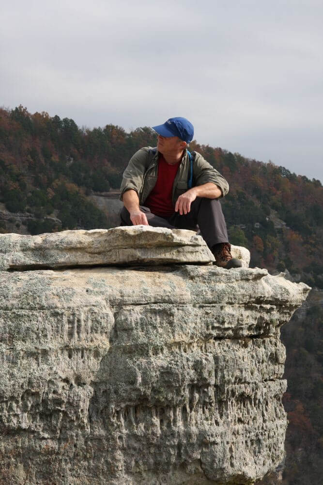
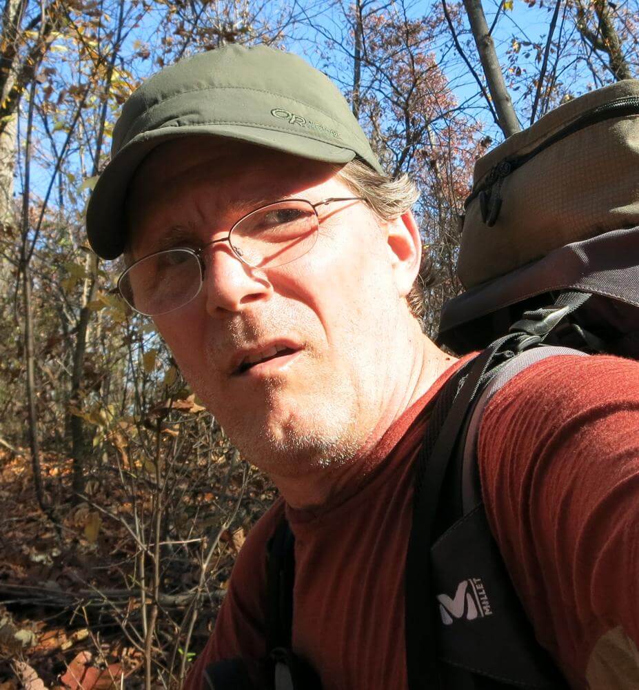
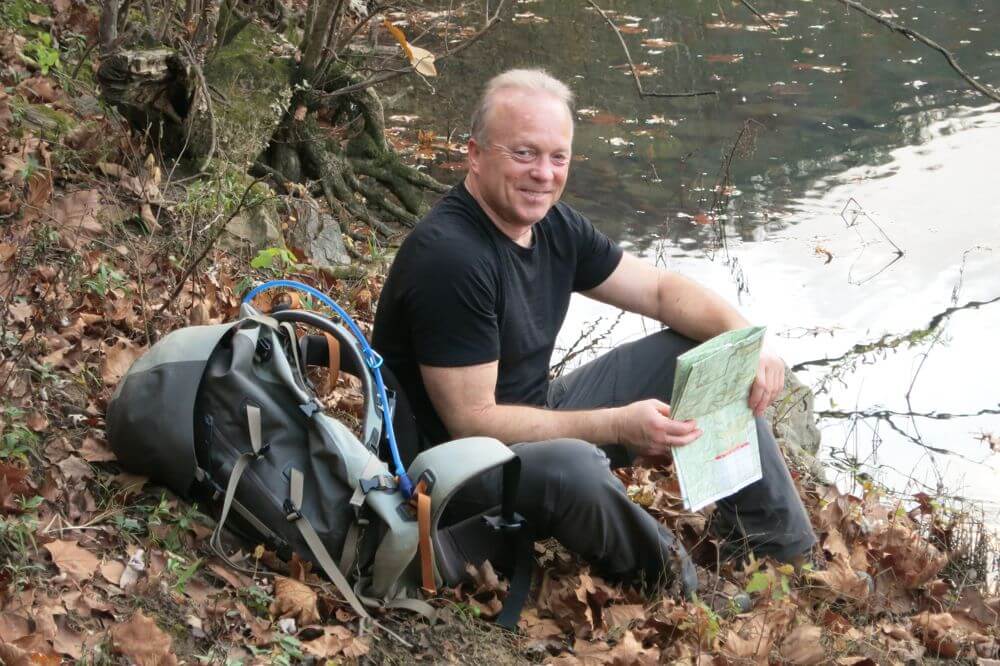
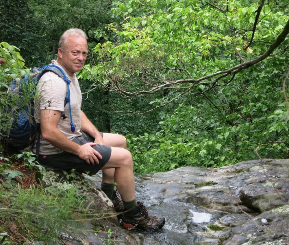
Hiker dude laz’n before the rains atop China Falls
Tom Walden–August 2013
While we absorbed the sights and sounds enveloping us, I turned and gazed down at the surrounding terrain. Suddenly, my eyes fixed onto something, and at first I thought I might be seeing things. Could what appeared on the ground a few feet away provide the answer to the question I had pondered since initiating the quest to find the four falls, What inspired someone to name this falls Crosscut? Well, perhaps it earned its moniker from what laid just a few feet away—an old, rusty crosscut saw blade. Maybe, just maybe the mystery had been solved.
Well, with the day and adventure all but complete, we headed for the top and on to the road—a relatively easy hike. Our curiosity was cured, our senses were quenched, our clothing was thoroughly drenched, and the gnats were no problem at all! Another challenge was met, and the potential for future quests had been discovered. Of course, what those are will be fodder for future posts.
Hike on!!